Last year Kai and I hiked Halawa Ridge. It was our first major hike. It was long and at the time it was the limit of our capacity. We really felt like Halawa Ridge had pushed us to the edge of what we could do.
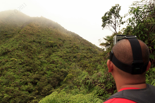
This past year Kai and I have been hiking a lot more and I wanted to measure the progress we've made in the last year and a half. Kai and Chas had the rare treat of having a baby sitter for Olena and Ana the Saturday after Thanksgiving, so we decided to head up the long winding trail on Halawa Ridge.
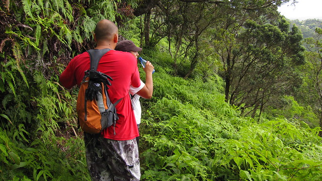
We started in the darkness of the early morning at the end of Iwaena Street in Halawa Valley. We wanted to park at the end of the street but some early morning drug users parked at the end of the road forced us to park about a quarter mile down the road in a more heavily populated area.
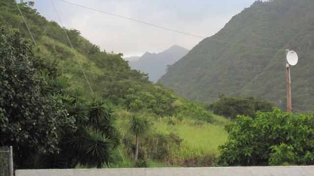
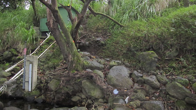
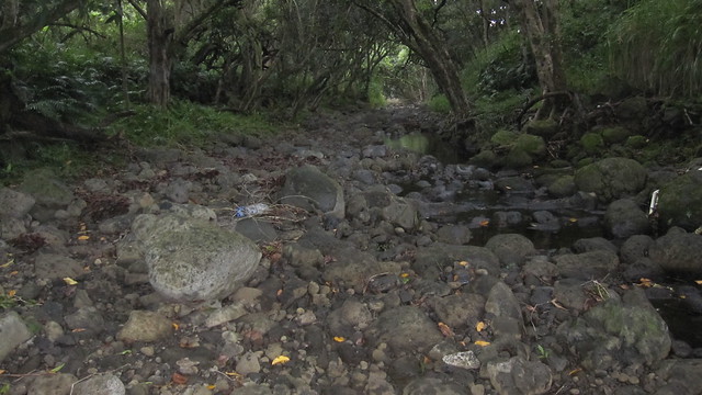
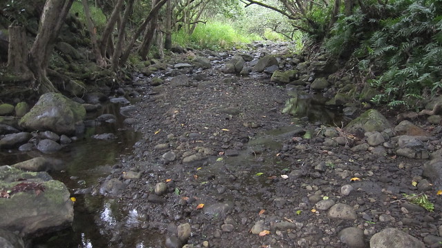
Under the cover of darkness we made our way past the Xeriscape Garden and over the nearly dry Halawa stream.
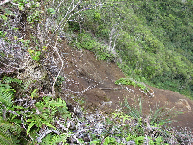
Past the stream bed and through some old lava rock walled terraces we passed under the H-3 and onto the service road. From the service road you can head straight across the road to the main trail that heads steeply up the side of the ridge to gain the crest of Halawa Ridge. The trail up to the top of the ridge is steep and draining. A very hard way to start a 7 mile trek. I had read on Dave's "Not So Great Hiking Blog" about another trail to the ridge crest just past bridge No. 4. Dave and others have mentioned that the trail at bridge No. 4 is much easier than well used side trail that we had used last year. So, we headed up the service road to find this alternate route. Unfortunately we never found the alternate route at bridge 4. So, after looking for an hour or so for the route, we decided to head back and take the traditional route up to the Halawa ridge crest.

The trail to the gain the crest had changed since last time. About two-thirds of the way to the top the trail veers right away from a steep rock face and instead switch backs up to the top. This new route made the trail to the top much easier. Thank you whoever forged and roped the new route!
Once we gained the crest we followed the worn dirt road to the Halawa Barrel and the start of the Halawa ridge trail.
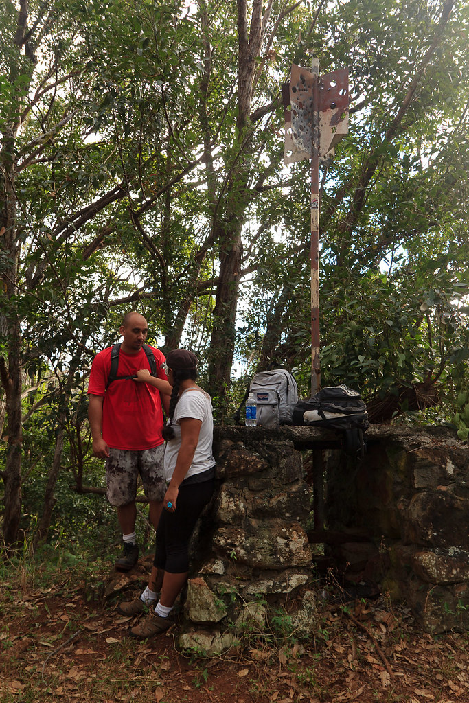
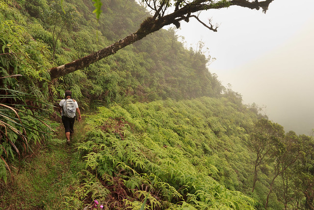
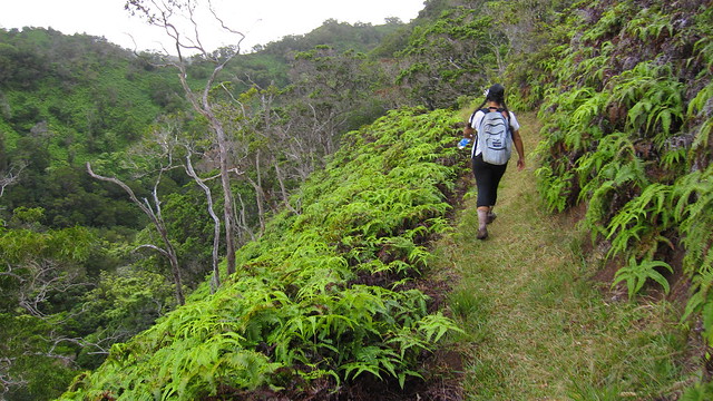
The trail was in wonderful shape. Our bodies were in much better shape, too. The miles seemed to breeze by. Within no time, it seemed, we were at my favorite part of the trail.
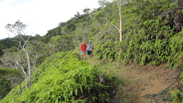
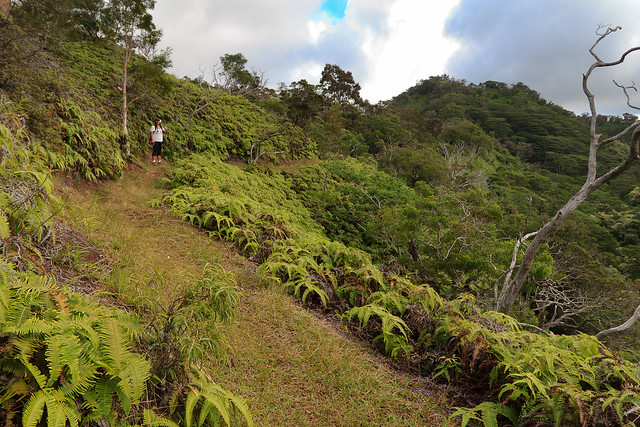
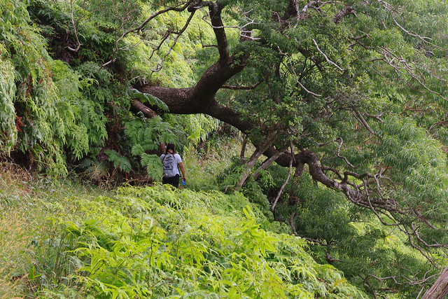
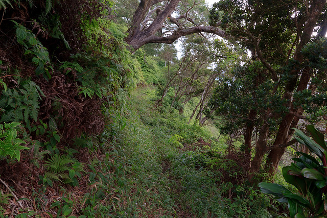
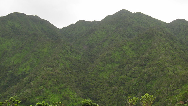
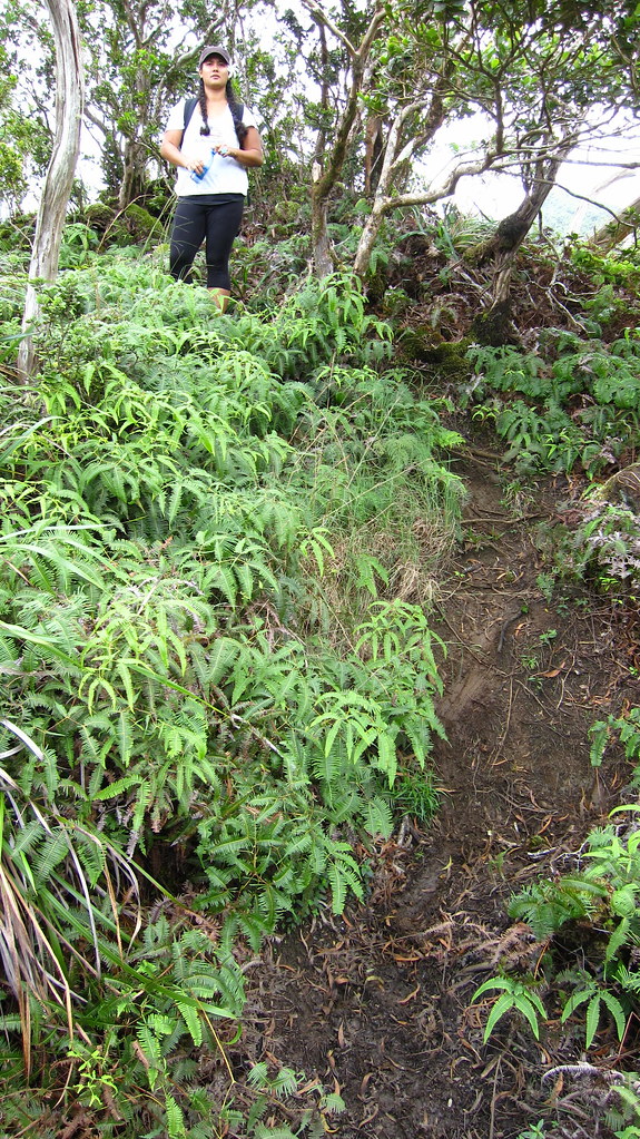
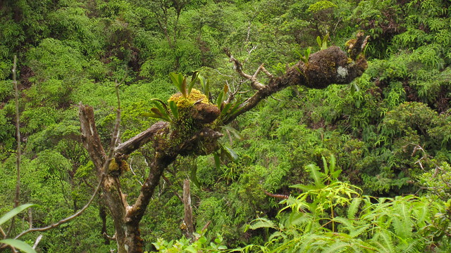
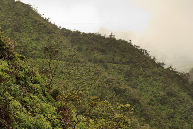
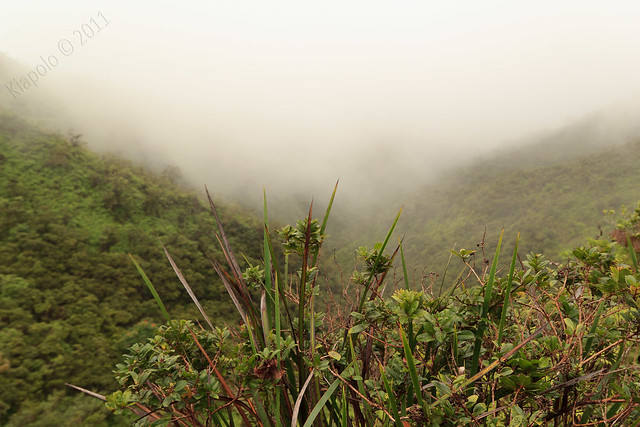
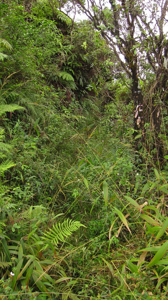
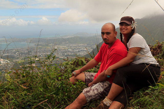
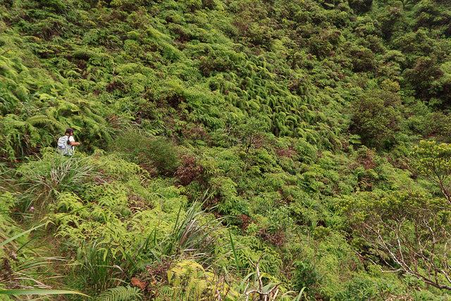
The Halawa Ridge trail is a graded trail that contours the ridge line, making for a relatively level and pleasant hike. About two or three miles into the trail the south Halawa Valley narrows to a beautiful uluhe and ohia section. The trail is covered in grass and makes for one of the most beautiful sections of trail I've ever been on.
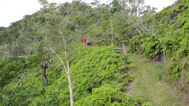
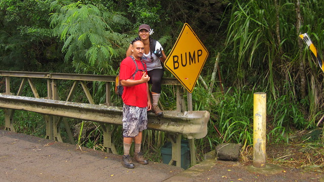
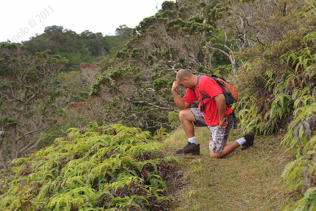
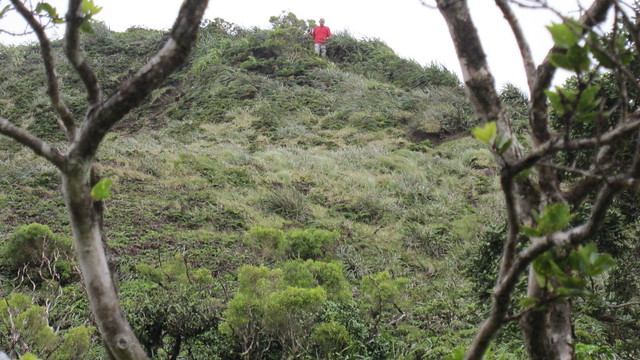
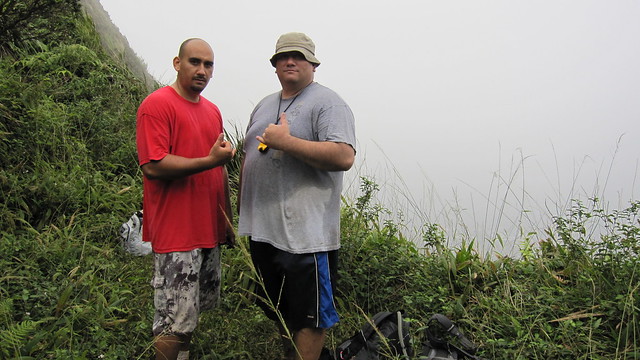
Kai even took some time to honor his idol, Saint Tebow.
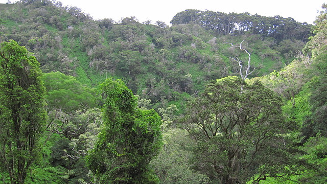
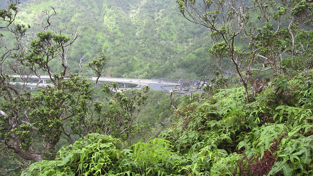
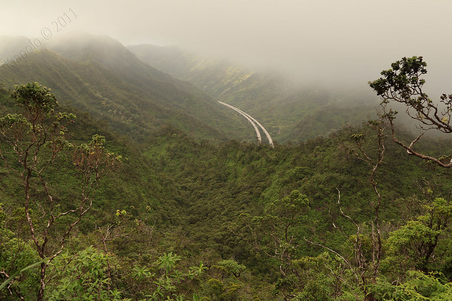
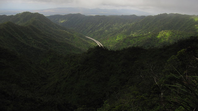
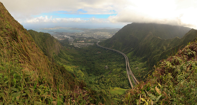
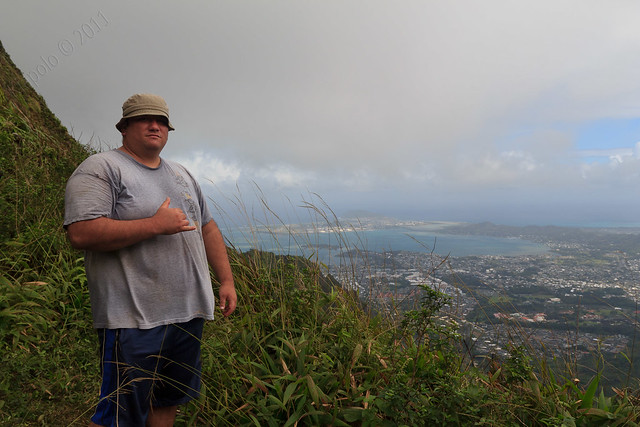
For the two-thirds of Halawa ridge the trail contours mainly on the southern side of the ridge, blocking the noise and view of the H-3. Every once in a while the trail would open up to Halawa Valley and the H-3, but for the most part stays on the pristine south side of the ridge.
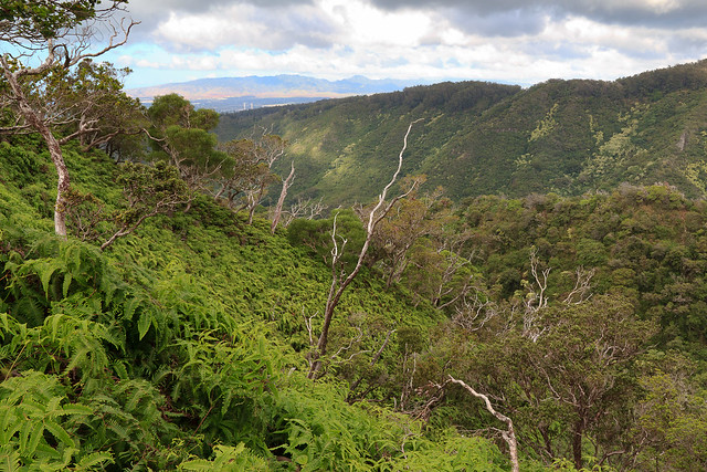
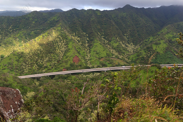
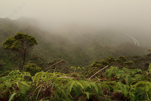
After hiking for about 5 miles mainly on the south side of the ridge, the trail crosses over to the north side of the ridge. On the north side you are exposed to the H-3 and sweeping views of central O`ahu and the Waianae mountain range. Today we were also exposed to blasting winds and light rain on the north facing trail.
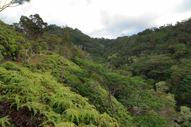
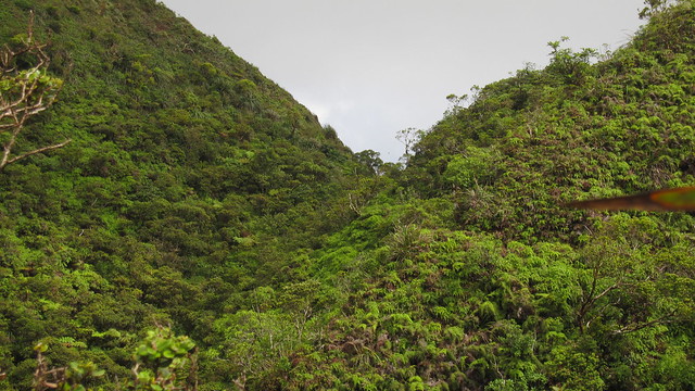
Once the trail crosses over to the north side it becomes more aggressive as it carves its way in the side of the ridge and climbs to the Ko`olau crest.
 |
| The last big push to the end of the trail at the low saddle on the ridge. |
Soon after the cross-over a section of the trail has been washed out and requires a short bypass up and over the washed out section.
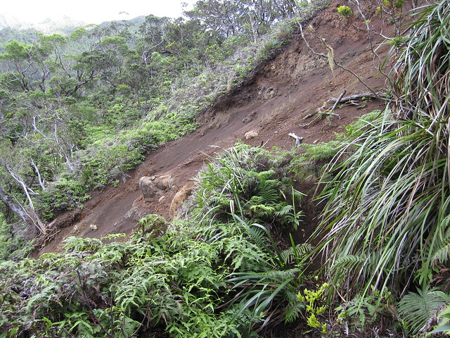
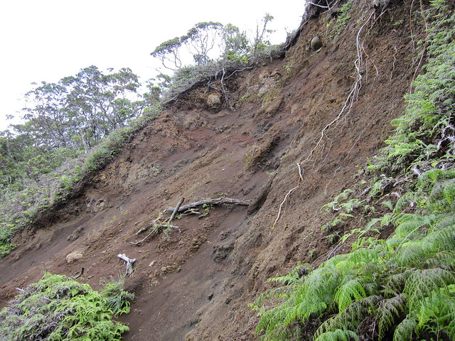
The ungraded bypass helped me appreciate the graded nature of the Halawa ridge trail. At the top of the bypass was a large and deep pool of mud that had to jumped over or bypassed it self!
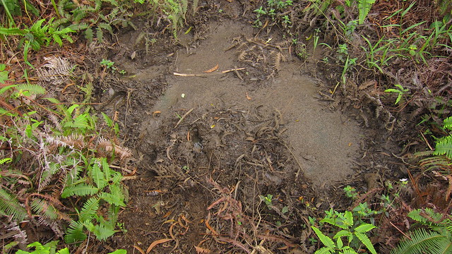
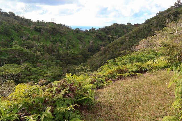
The upper section of the trail become more rugged and much more wet. Although the trail is muddy it remains for the most part even and graded right to the terminus.
Soon you find that the H-3 is far behind you and most likely far below you.

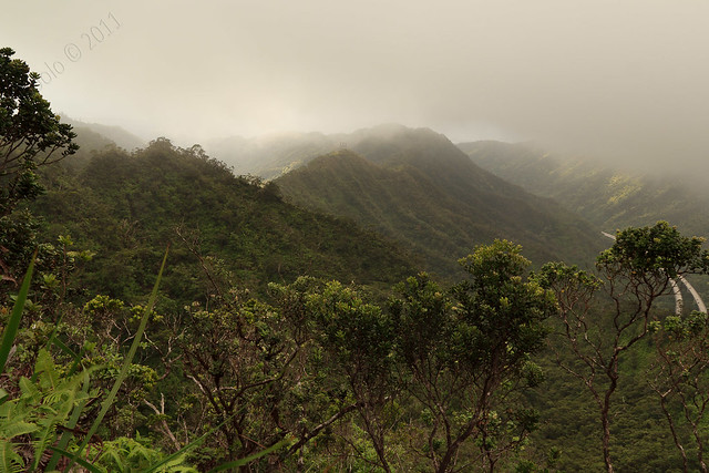
As we neared the summit the clouds closed in around the Ko`olau and the wind really whipped up in a frenzy!
 |
| Trail cut into the side of the ridge. |
Before we knew it we were right at the end of the trail!
 |
| Final approach to the trail terminus. |
 |
| Looking back on the final stretch of trail from the end of the hike. |
Five hours after pushing off from Halawa Valley we had reached the trail terminus!
We had planned on continuing up past the terminus to the North Haiku "Hidden" Stairs, but conditions deteriorated as we neared the terminus. Rain was now heavily falling and the wind was gusting at over 80 miles an hour! Kai scouted out the ridge to the summit geo-marker but after ascending a short section of the ridge decided not to go on. We'll have to leave the North Haiku Stairs for another day and another adventure (maybe a Aiea Ridge to Halawa Ridge cross-over?).
After a short pit stop and some picture taking we made our way back to the Halawa Valley the way we had come.


The hike back to civilization was much more enjoyable than last year. This time we stashed multiple water bottles along the trail and we had more than enough water to complete the trek (I took 10L of liquid just for me!).
On the way back Kai spotted a native bird perched on one of the trees close to the trail. I didn't have my telephoto lens so I had to creep up close to get a picture. Sadly it flew away before I could snap a picture. We think it may have been the thought to be extinct Oahu Alauahio, but after some research I think it was more likely the Oahu Amakihi
Once back at the car we were tired, cold and wet, but happy! It was a great hike and a great time!
Video of our hike:
Here's the video of our epic hike up Halawa Ridge last year:
Rest of the pictures:
GPS track:
I use two handheld gps devices.
ReplyDeleteMy main GPS device is a DeLorme Earthmate PN-40. It's fast, it's accurate, it has great maps and additions. It is a battery hog. I typically use one set of batteries on the way up Halawa Ridge, and another set for the return trip.
My backup GPS is an older Garmin eTrex Venture HC. It's not very fast, not very accurate, but one set of batteries will last all day. I typically throw this in the backpack as a back up in case the PN-40 dies.