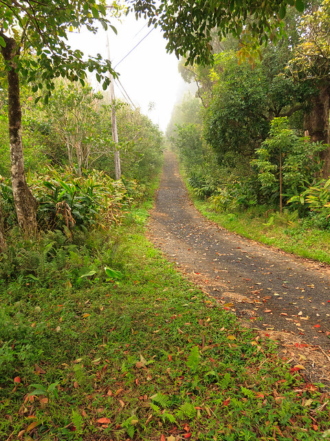
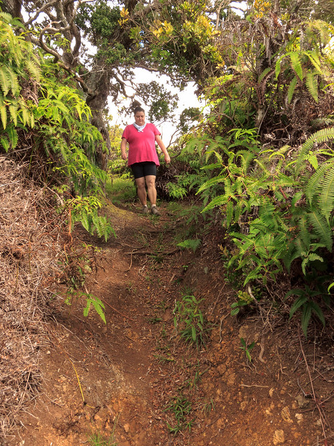
Kapālama Loop. I've been wanting to do this loop above Kamehameha Schools for a long time. I scouted the Na Pueo by-pass a few months ago and finally got to complete the loop with Sommer last Saturday.
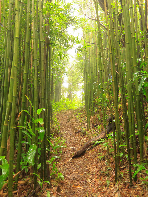
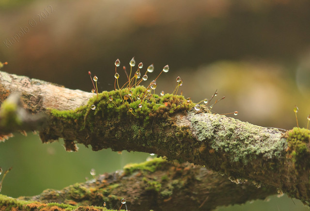
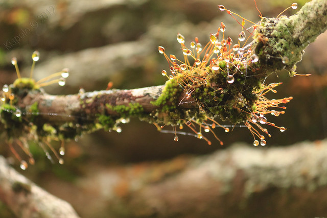
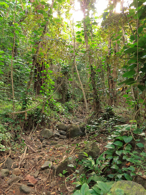
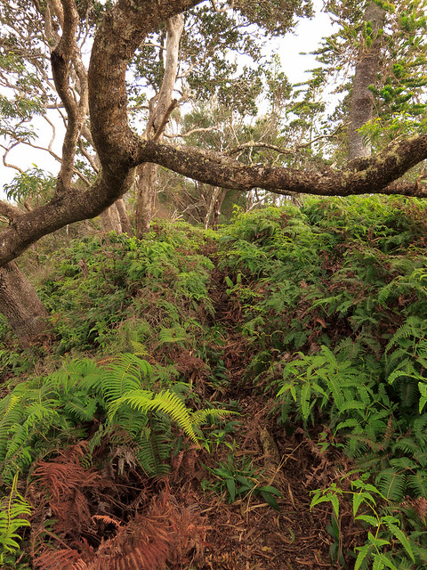
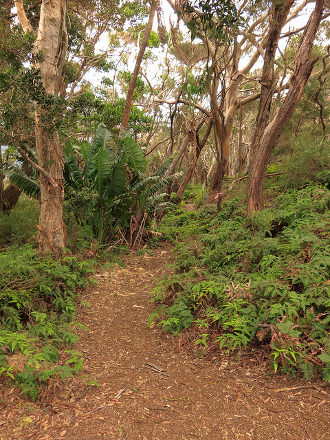
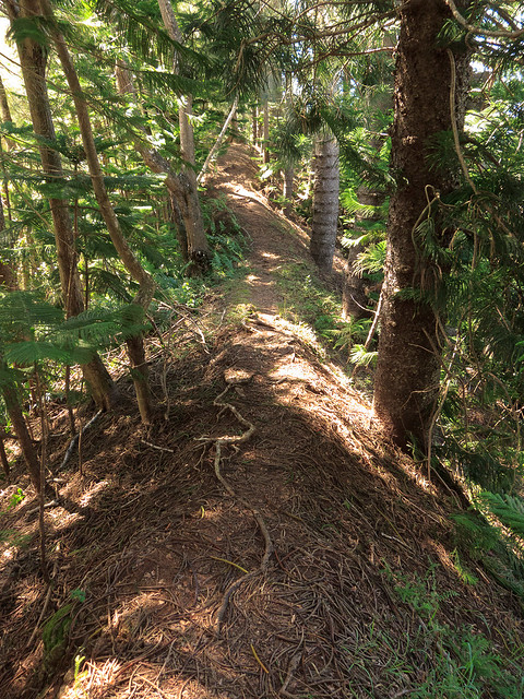
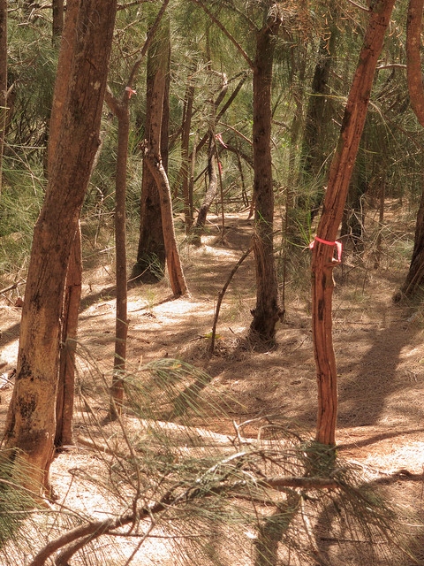
Kapālama Loop is a microcosm of Ko`olau hiking; mud, eucalyptus fields, switch backs, narrow paths through painful uluhe, grassy ohio lined sections and dry rocky stretches.
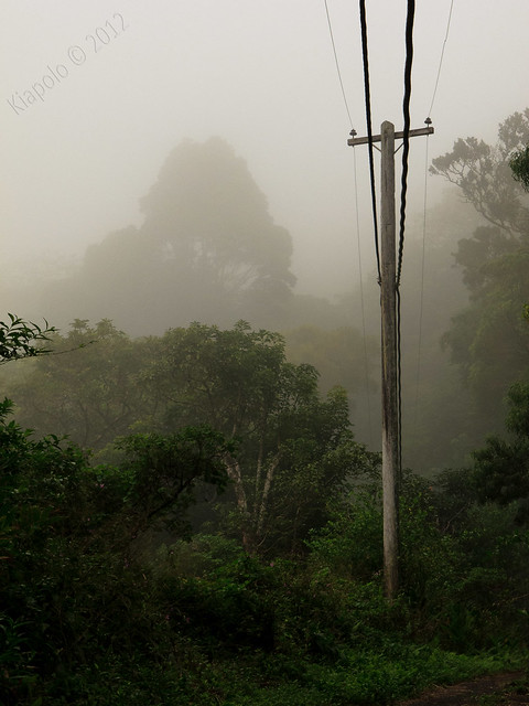
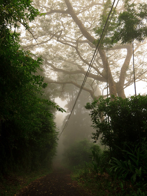
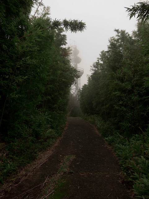
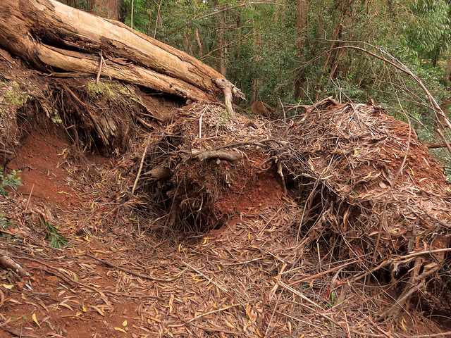
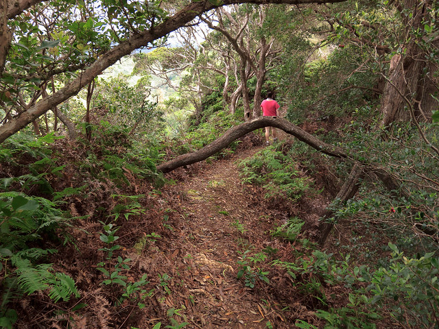
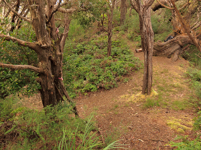
Once you gain the loop trail we turned left for a clockwise trip on the loop. The trail drops into a small valley and stream bed. This section of the trail seems seldom used, wet and muddy.
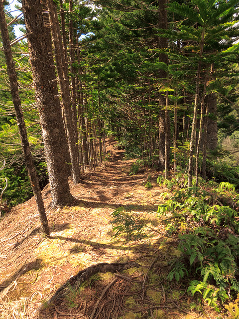
The loop then raises on a long series of gentle switch backs among tall reforested sections.
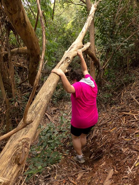
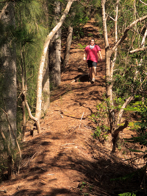
 |
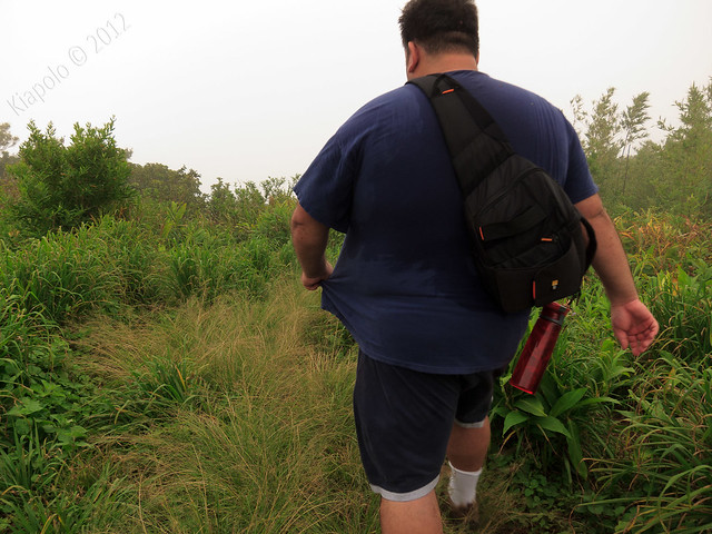
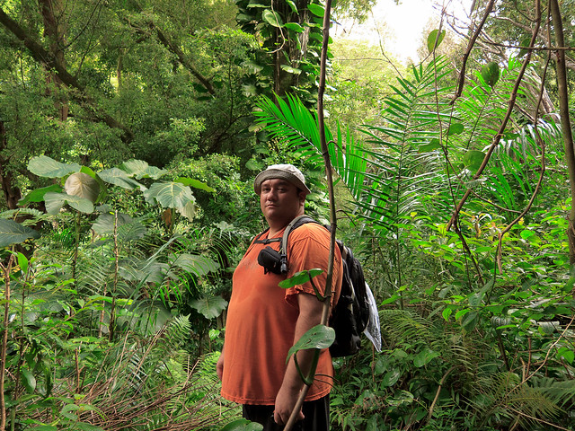
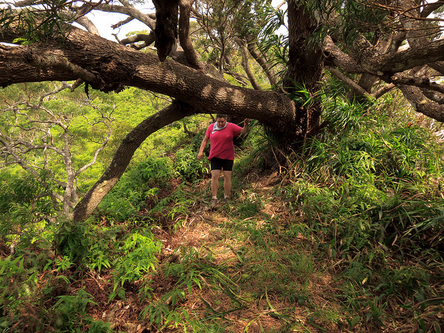
| Sommer rocking the neck scarf |
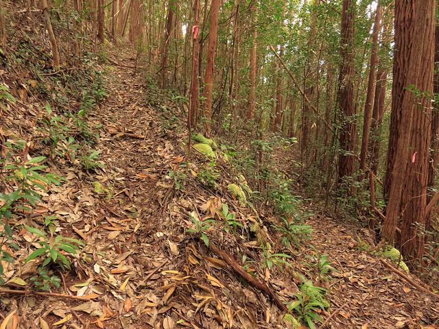
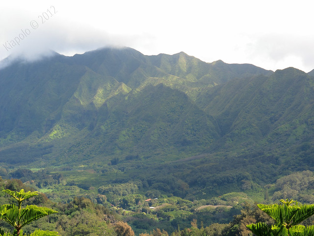
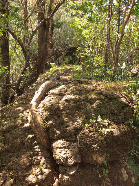
Once you gain the crest of the ridge, the loop takes on a typical Ko`olau ridge trail character. The trail is sometimes chocked with uluhe constantly ripping at your shins. Lanihuli ridge rises from the south and Kamanaiki ridge rises to the north.
 |
| Kamanaiki Ridge |
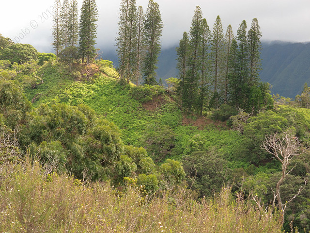 |
| Lanihuli Ridge |
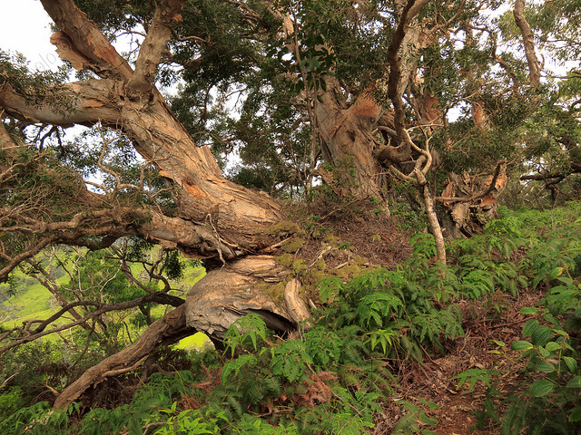
Along the trail we passed the remnants of an old cabin.
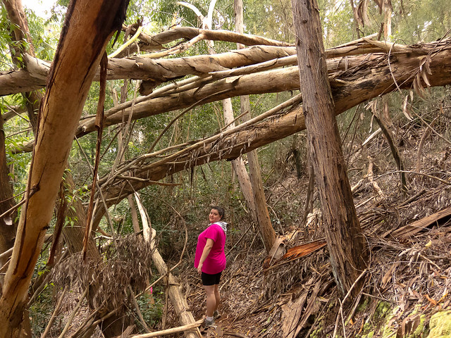
Just under 4.5 miles in, the loop junctions with the Lanihuli ridge trail. Taking a left at the junction takes you up to Lanihuli, turning right take you back down to Alewa Heights. Sommer and I took a break at the junction and had some lunch.
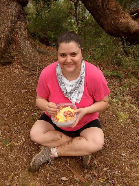 |
| Spam, eggs & rice, hiking lunch of champions! |
 | |
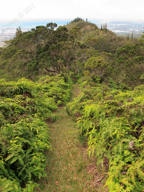
| Lanihuli ridge on the left, Kapālama Loop on the right |
 |
| Trail to the summit |
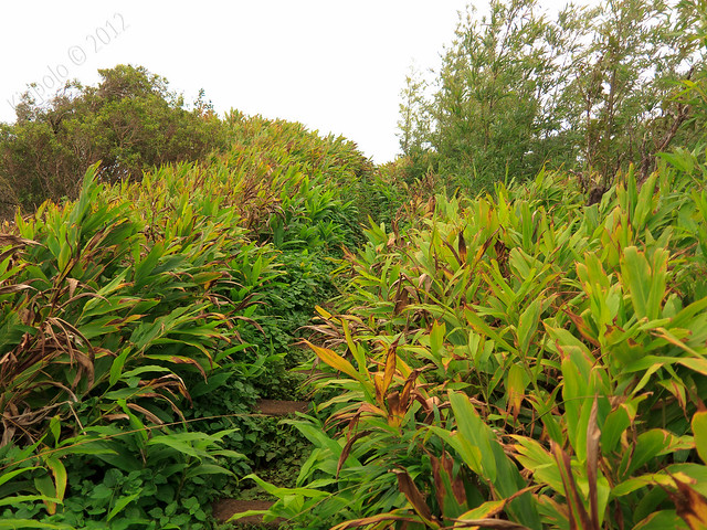
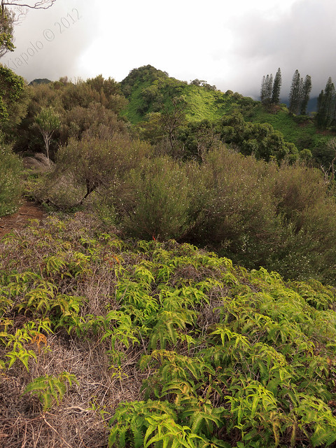
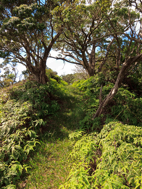
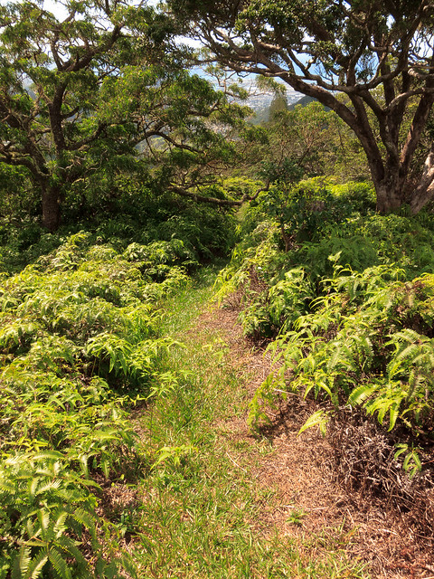
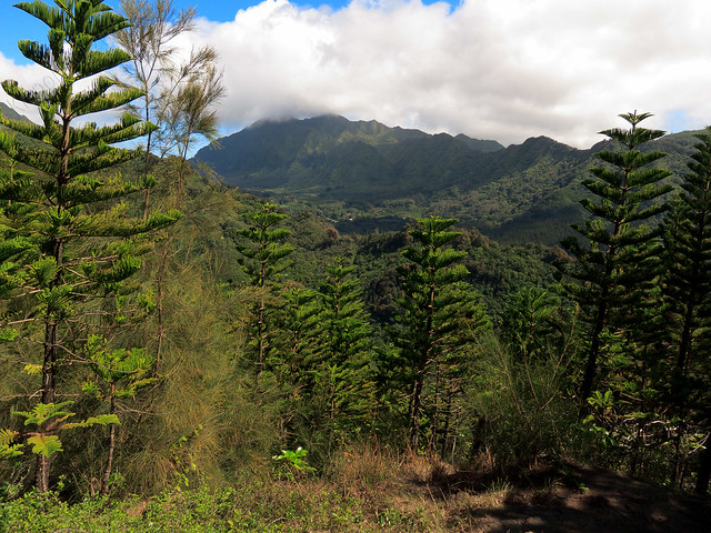
The trail back to the start of the loop follows the ridge line and all of its ups and downs. The beginning section of the trail is grass covered and very pleasant.
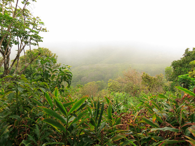
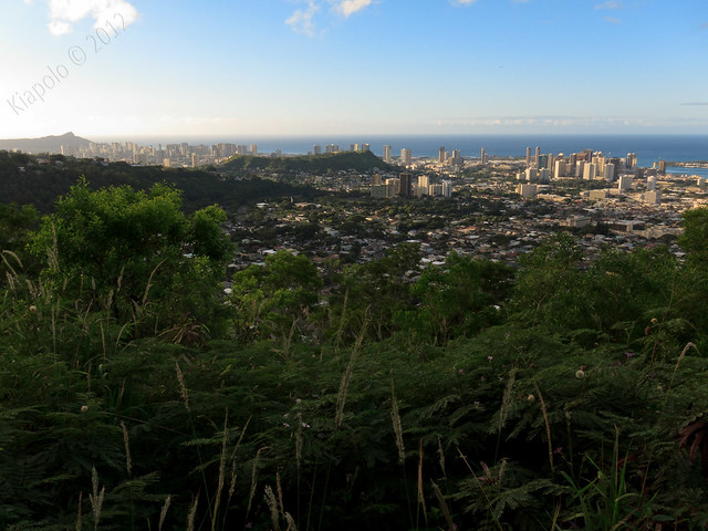
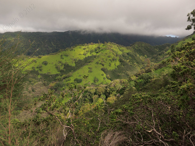
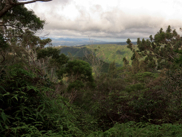
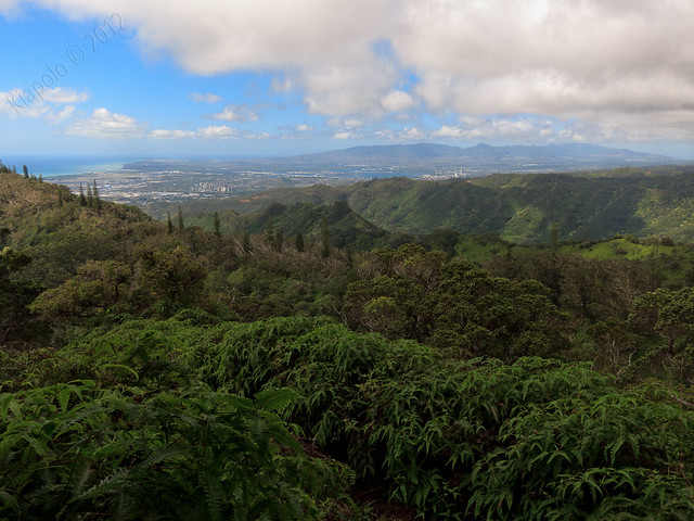
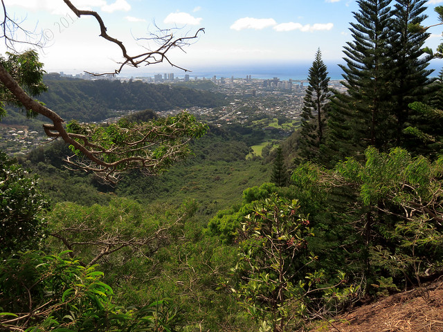
The return leg offers great views of Nu`uanu valley and the ewa plain.
 |
| Konahuanui |
 |
| Nu`uanu Valley |
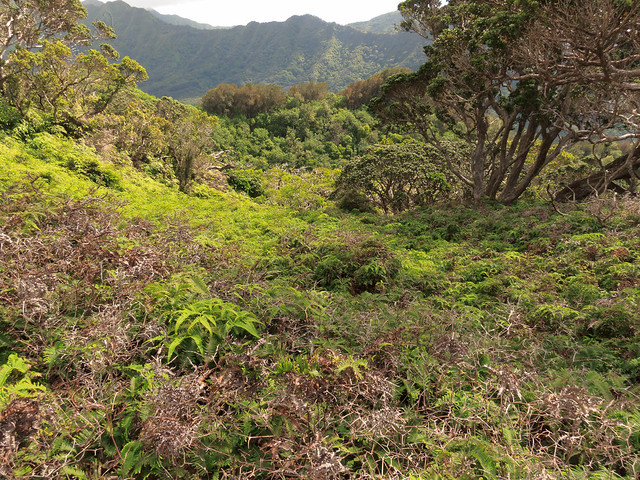
The trail then dries out and gets dusty and rocky.
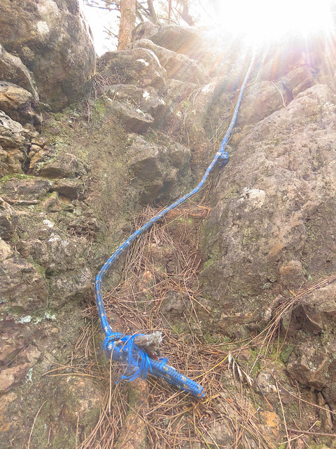 |
| I no roped it. |
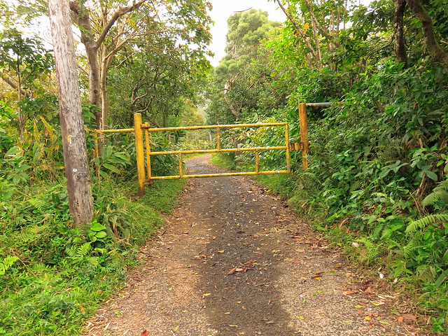
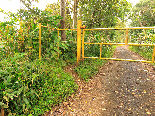
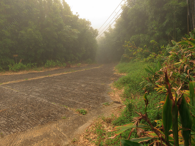
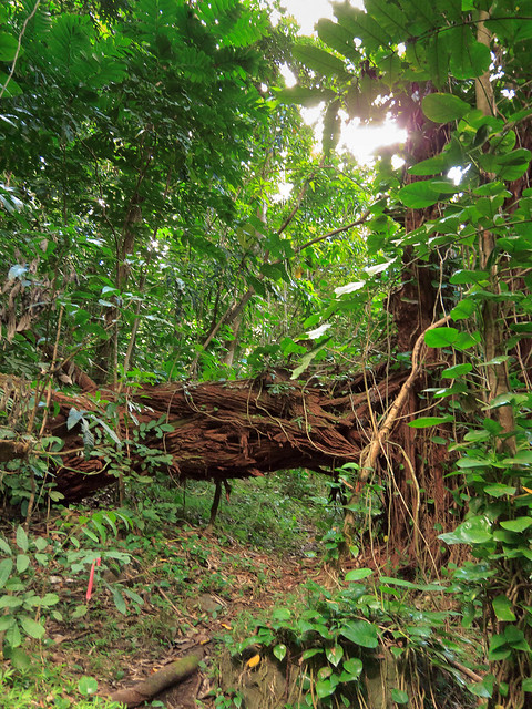
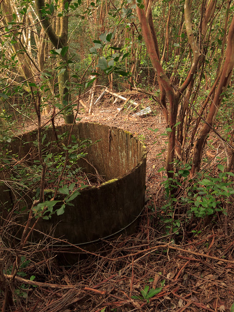
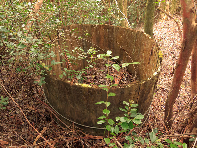
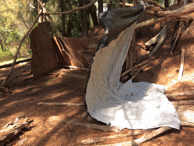
We soon passed the permanent makeshift camp and arrived at the Na Pueo by pass entrance.
Starting from the Na Pueo park up on Alewa Heights, Kapālama Loop is 7 miles long. It's a great loop hike. Sommer said it was the most interesting hike she's been on (read her write up of the same hike here). I think I must agree. This trail has everything!
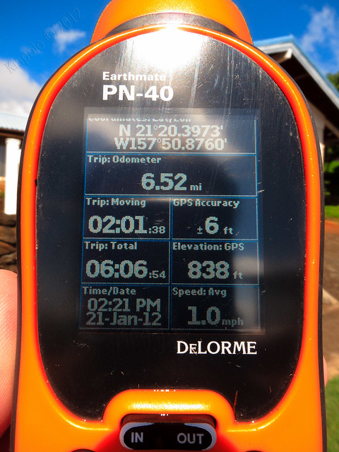
GPS track of the hike (view with the aerial map):
Rest of the pictures here: