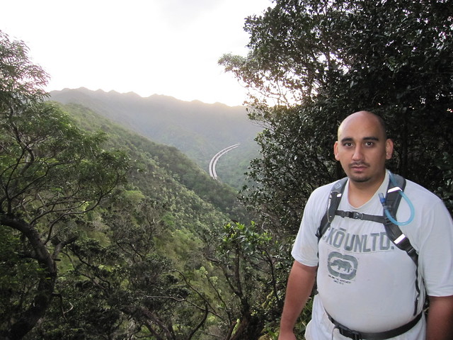
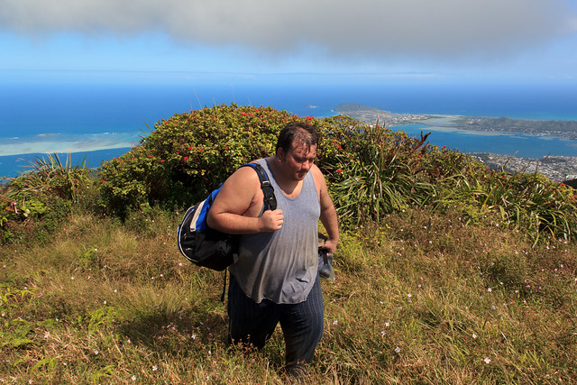
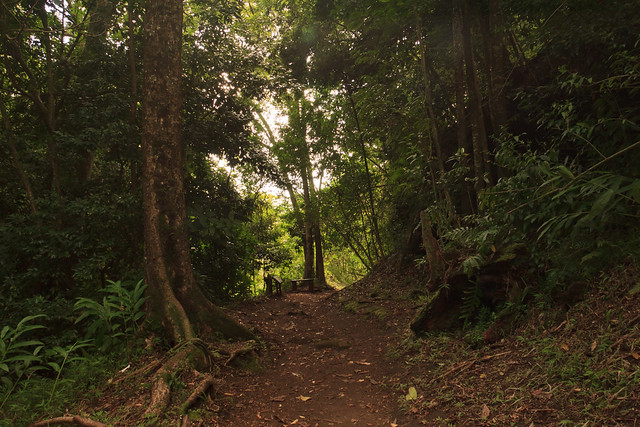
Saturday, January 29, 2011. Kai and I hiked all 11 miles to the top of Aiea Ridge. Started off at 6 am, in the pitch black at the top of Keaiwa Heiau State Park at the trail head of the Aiea Loop Trail. About 1.5 miles into the Aiea Loop Trail the Aiea Ridge trail veers away from the Loop and up the Ridge to the Ko`olau summit ridge. The entire time up to Aiea Ridge junction it was completely dark and we had to hike by the light of our flashlights.
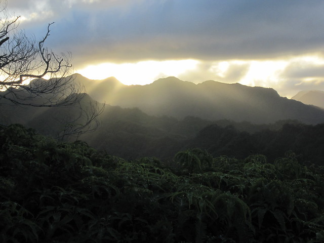
While the sun peaked above the Ko`olau, Kai and I made our way up the Aiea Ridge.
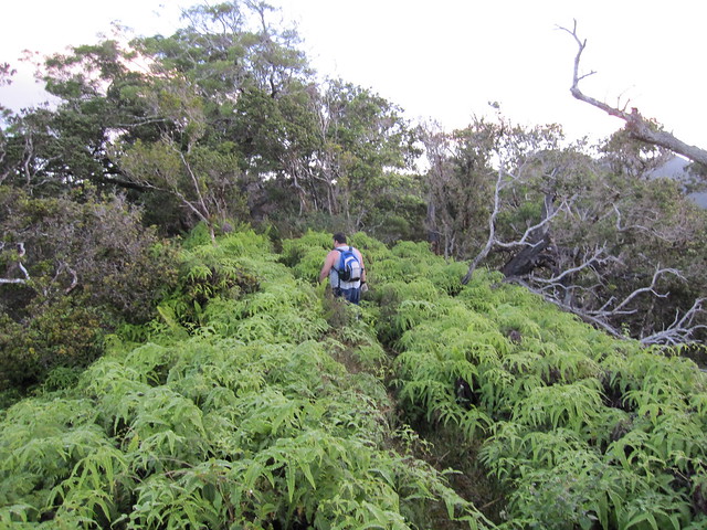
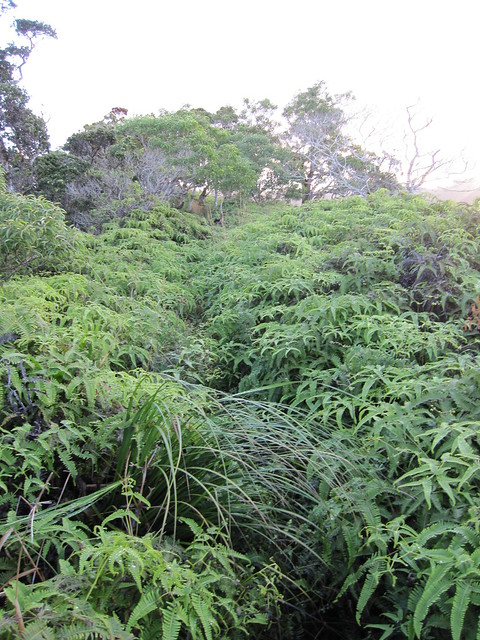
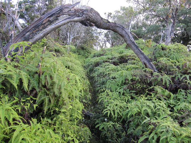
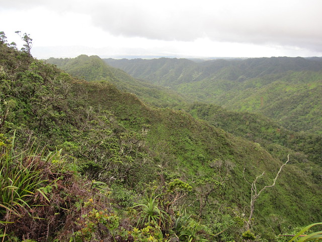
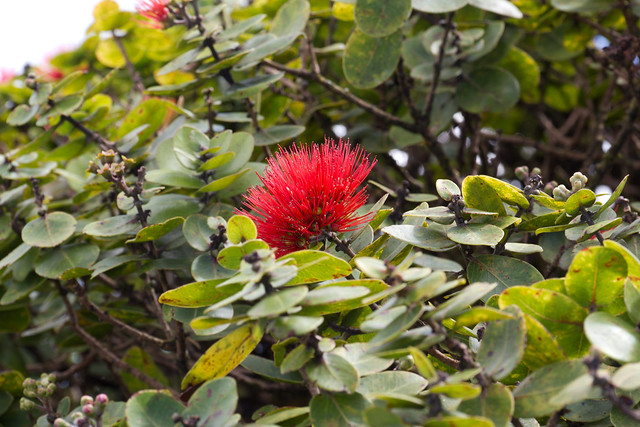
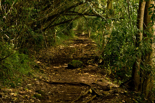
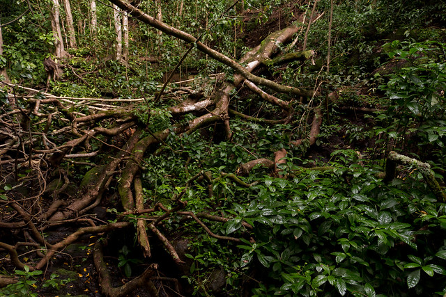
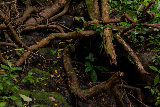
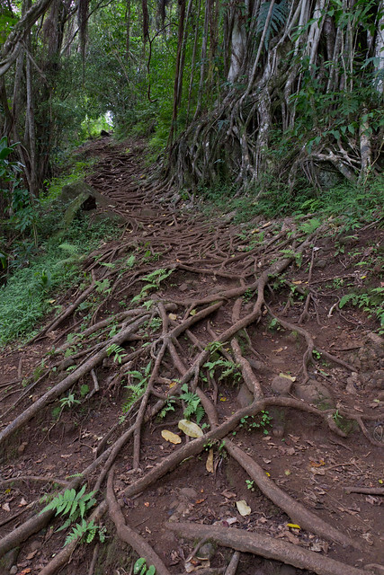
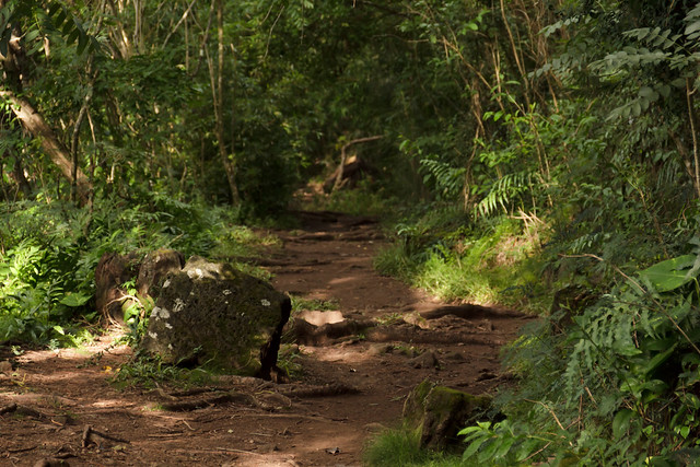
The trail slowly made its way up and down the ridge line. The trail was choked with `uluhe fern.
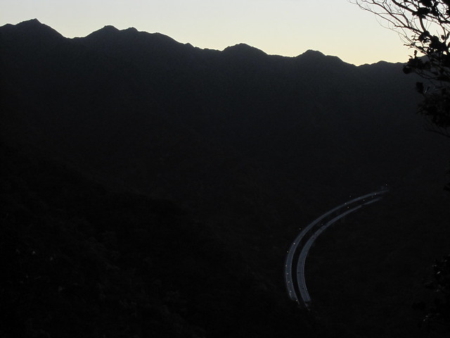
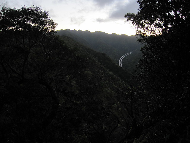
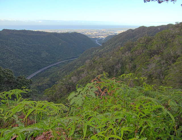
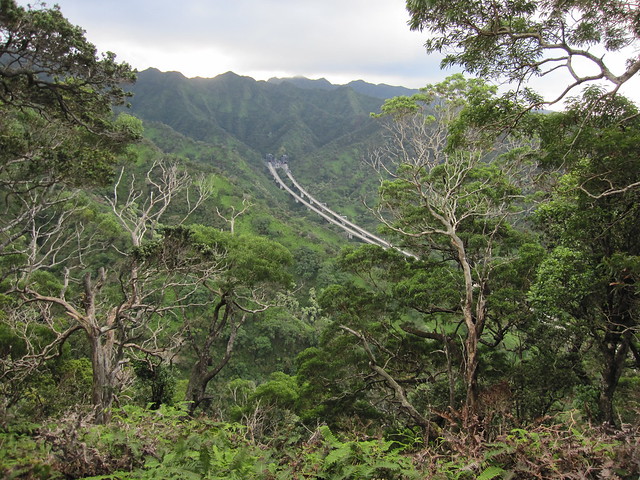
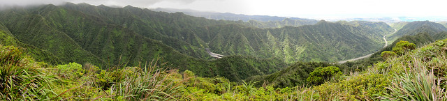
The ridge follows the North ridge of Halawa Valley. Next time you go up the H3 it's the ridge on the left side on your way to Kaneohe (or on the right side if you're coming from Kaneohe).
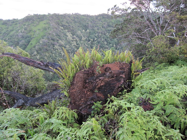
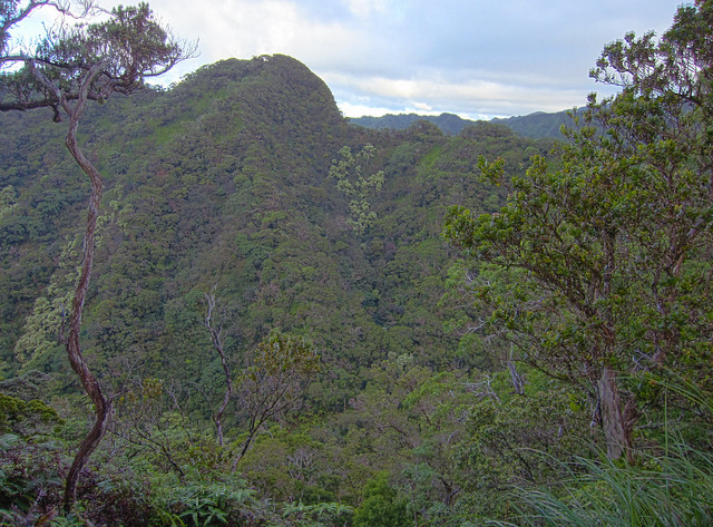
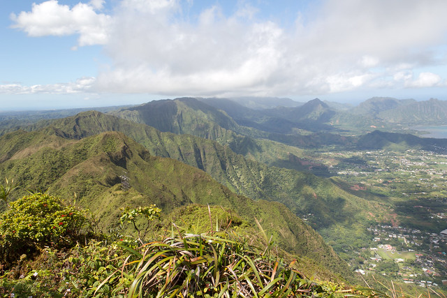
On the other side of the ridge is Kalauao Valley. Kalauao Ridge rises up from the valley matching Aiea Ridge for a few miles before dropping off back down to the valley floor.
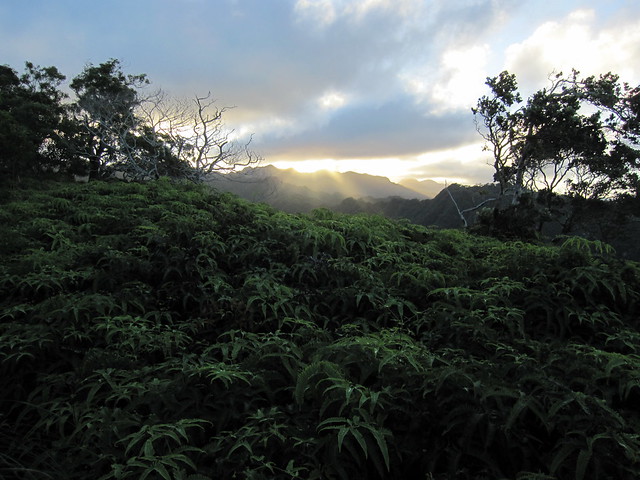
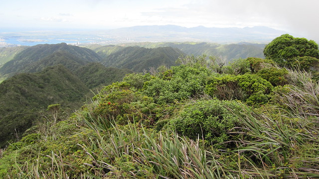
About two-thirds of the way between the Aiea Loop/Ridge junction and the Ridge Summit is the first false peak, Pu`u Kawipo`o. For most of the ridge this peak is pretty much the only one you see. If you don't know any better you might think it's the end. It's not. The top of the peak is wide and flat. When we were there you could see the tell tail signs of parallel groves in the soft dirt indicating that helicopters make frequent stops. This was our first major resting spot. Pu`u Kawipo`o provided some great views of the H3 and Halawa Valley.
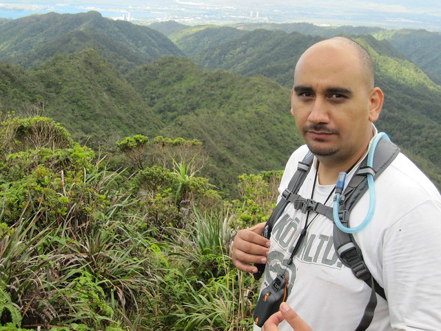
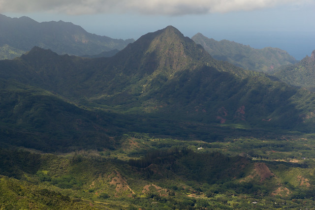
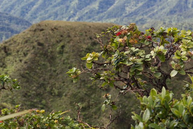
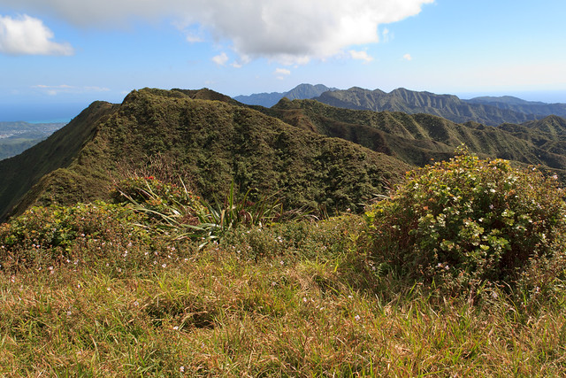
The ridge to Kawipo`o is a typical Ko`olau rollercoaster, but there is plenty of shade from the trees and bushes (and uluhe fern). The trail is pretty wide and safe up to Kawipo`o. After Pu`u Kawipo`o the character of the ridge changes dramatically; the vegetation is windblown, stunted, and remains close to the ground. After Pu`u Kawipo`o, the trail ascends to the summit across several narrow sections with dangerous drop-offs on either side.
Coming up to the end of trail there is... another false peak!
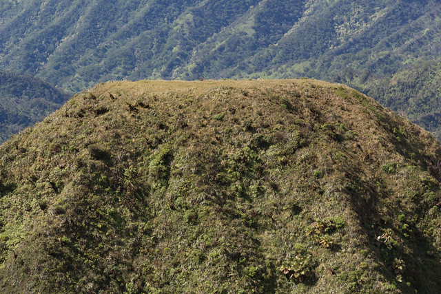
View of the last false peak from the true summit looking towards the Waianae mountain range.
Close up of the last false peak from the summit.
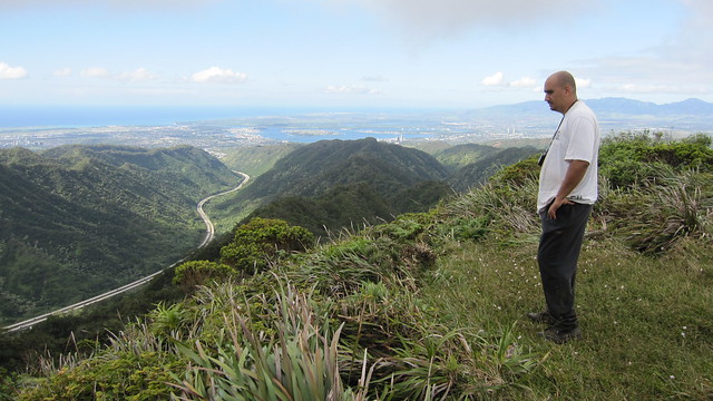
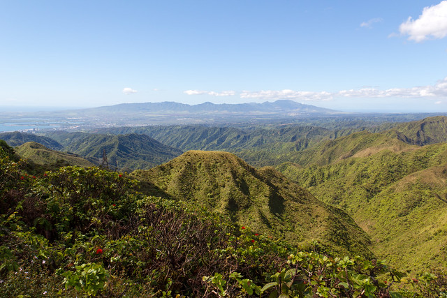
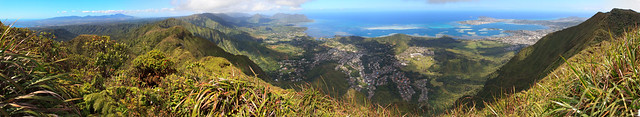
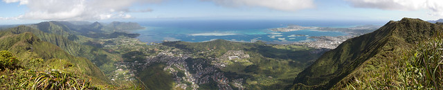
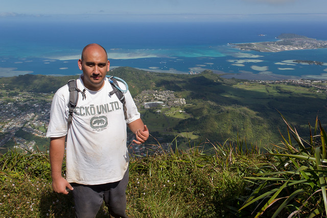
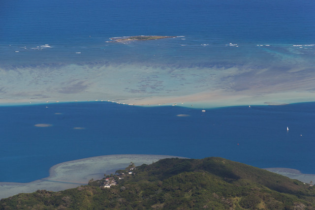
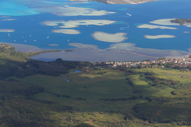
From the flat, wide second false peak you can see into Kahalu`u and over the sandbar in Kaneohe bay. From the last false peak there is a short trail, taking you past a tall electrical line tower that leads to the true summit of Aiea Ridge.
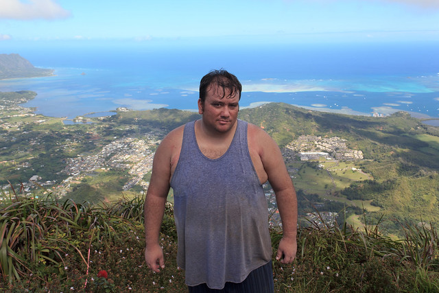
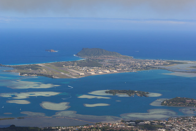
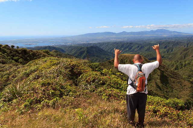
The view from the summit is one of the best I've ever seen. We were blessed with clear skies at the summit and an unobstructed view of Kaneohe, Kahalu`u and even all of the Waianae mountain range. You could see north up the Ko`olau Range spine, with clear views of Pu`u Ohulehule, Manamana Ridge and Kanehoalani Ridge.
Realizing that we had taken way too long to get to the summit, we quickly headed back down the Aiea ridge and the end of our hike. We got back to the Aiea Loop/Ridge junction just as the sun started to set, and reached the Aiea Loop trailhead just as darkness took over the trail. By the time we got to the gates of the Keaiwa Heiau Park it was 7:00 pm! We made our way to 7-11 and filled up on some Dr. Pepper before heading home!
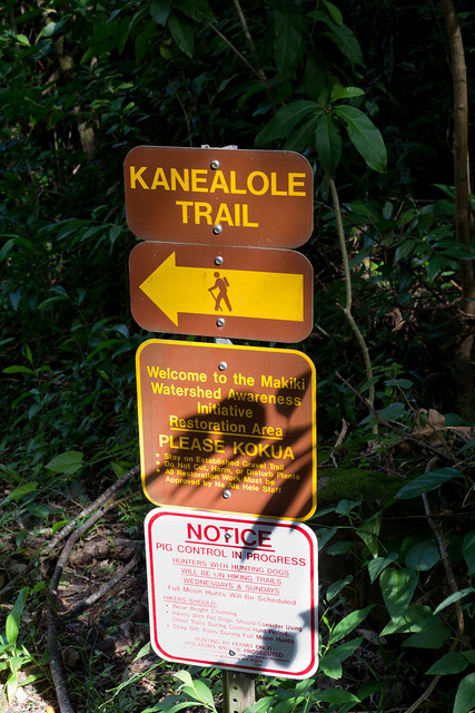
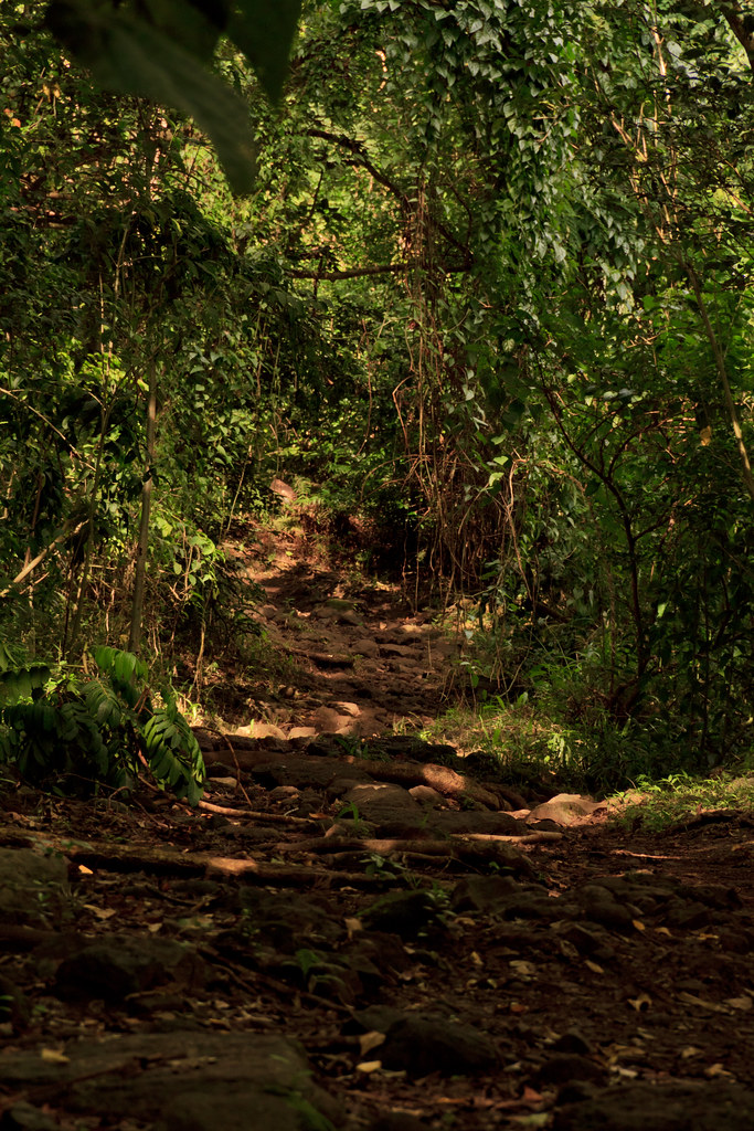
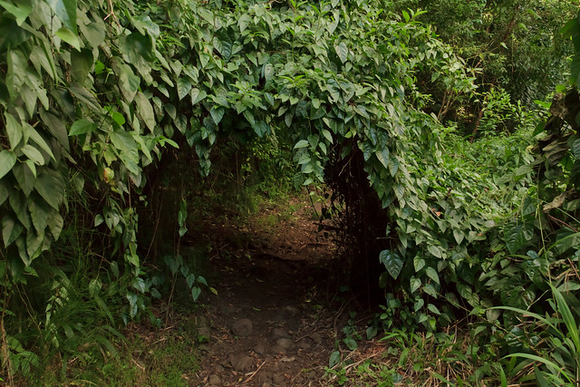
A few months ago Sommer "found" a trail a few blocks from our house. She keeps calling it our "Secret hike." Today I wanted to do Aiea Ridge, but that didn't work out so I headed up Makiki Valley to do our "secret" hike.
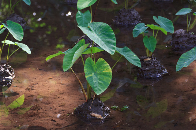
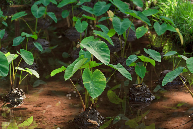
Starting up the Kanealole trail you come accross some lo`i (taro patch).
Some fresh water shrimp swimming in the lo`i.
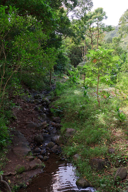
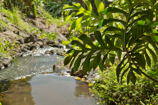
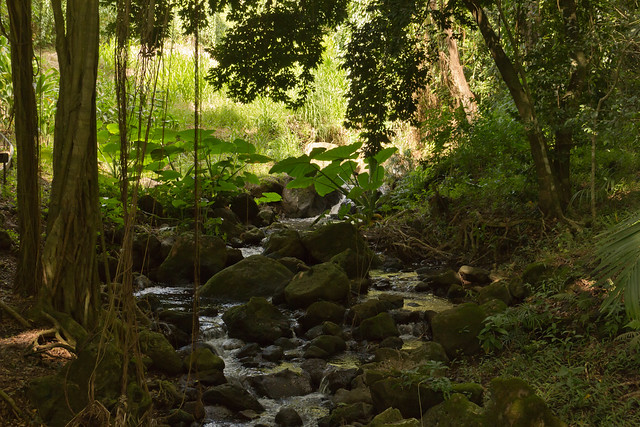
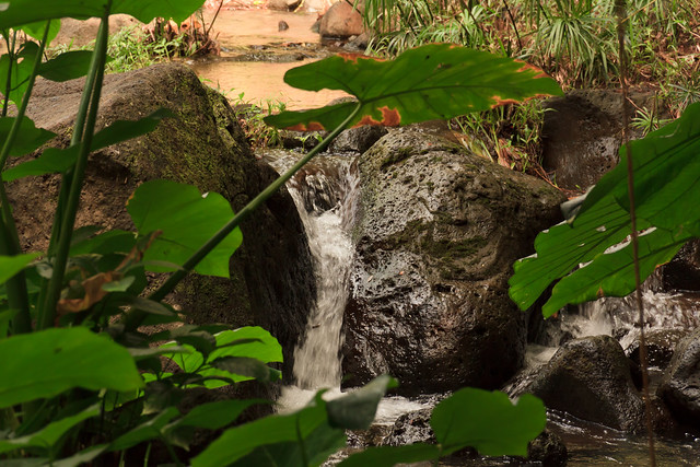
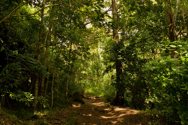
The trail follows the Makiki Stream up the valley.
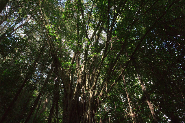
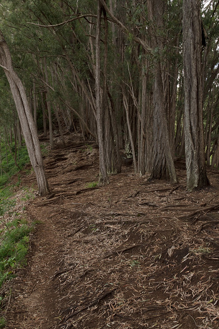
Lots of shade on the trail...most of the way your under the canopy of towering trees.
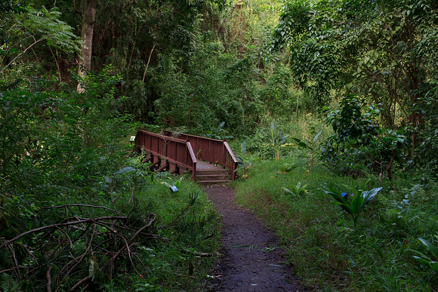
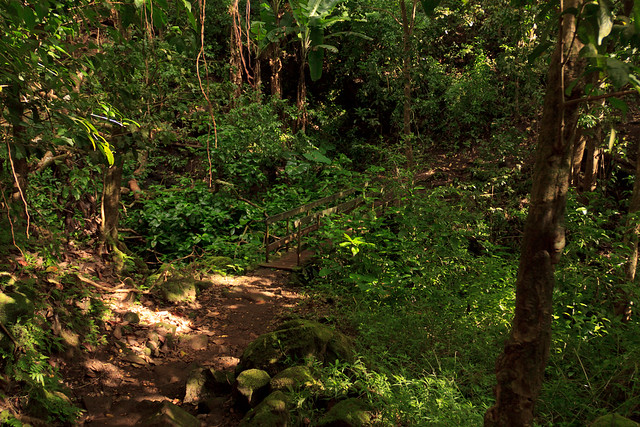
From the Kanealole trail you turn right on to the Makiki Valley trail.
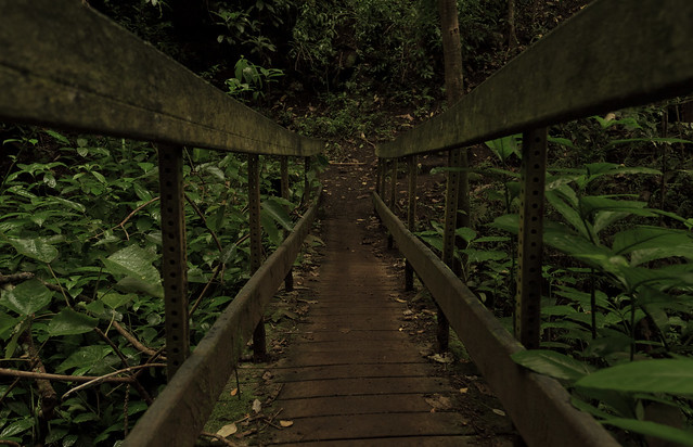
There's another little bridge on the Makiki Valley trail.
At the end of the Makiki Valley trail there is a junction with 3 other trail. You head down the ridge on the Maunalaha trail and head back to the start of the loop.