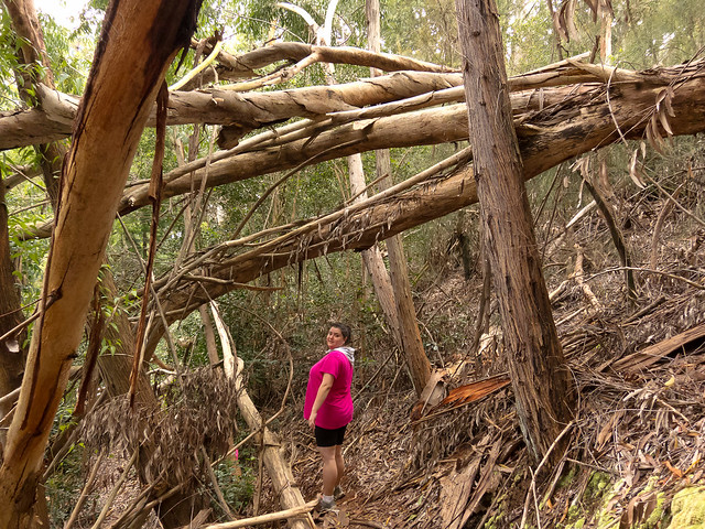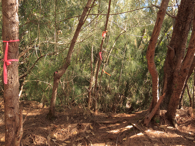
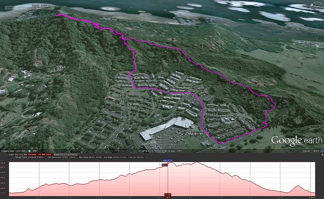
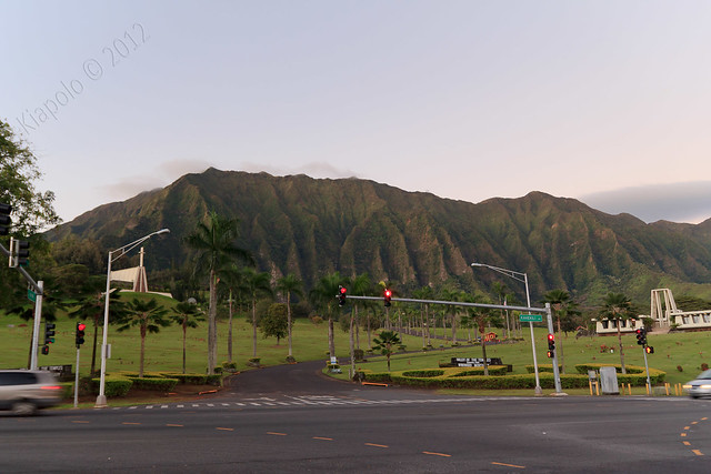
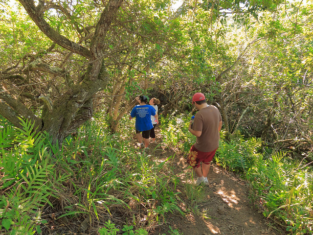
We started off from Kahekili Highway just before the Temple Valley McDonalds.
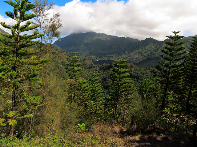
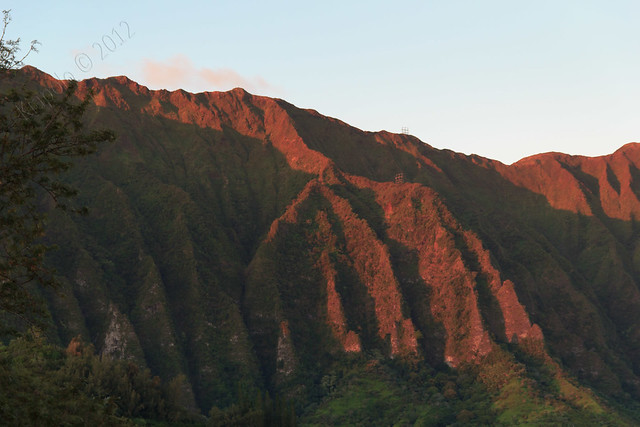
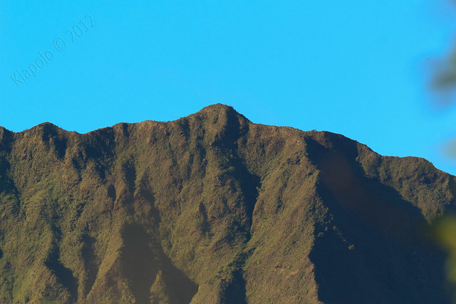
Of course the day I decide to do a short hike the Ko`olau are clear from any clouds! I kept thinking I should be up in the Ko`olau!
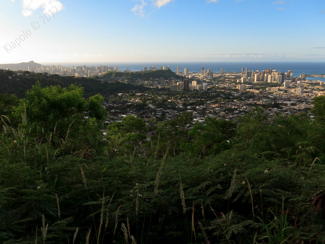
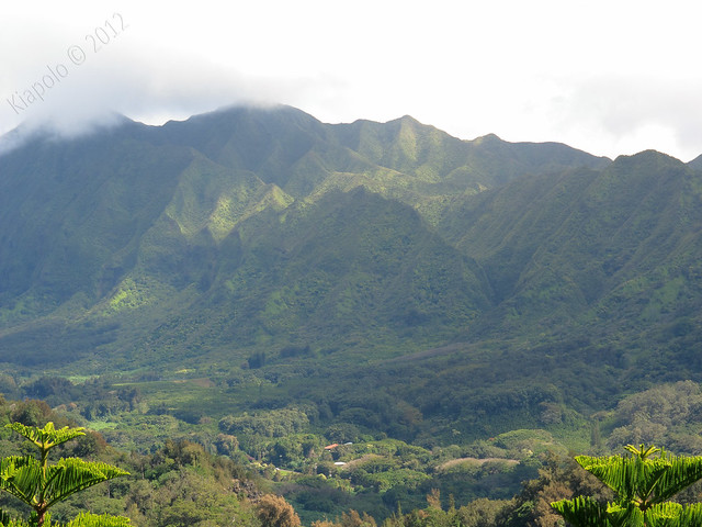
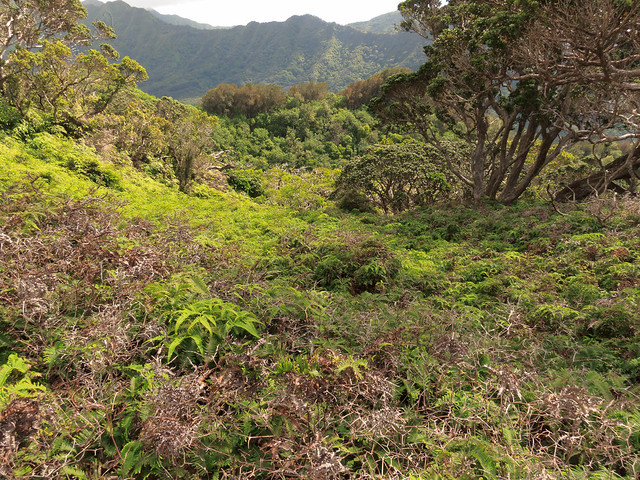
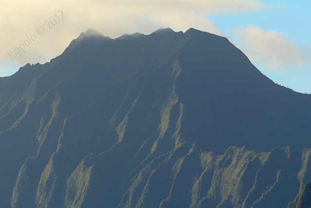
We gained the crest of ridge seperating Ahuimanu and He`eia as the sun rose over Kailua.
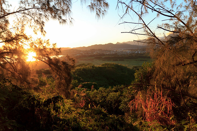
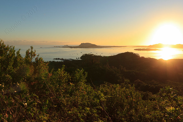
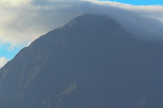
The Ko`olau was bathed in the soft orange glow of the rising sun.
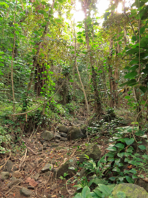
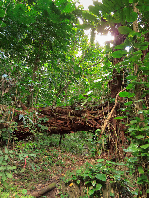
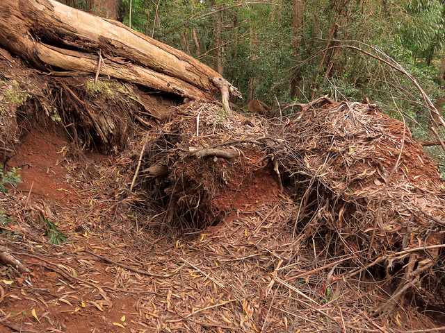
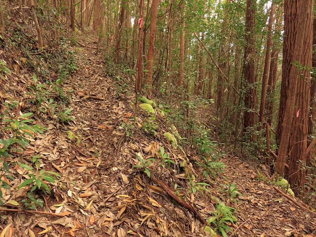
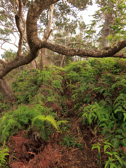
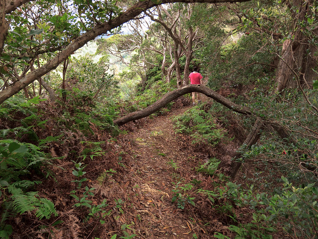
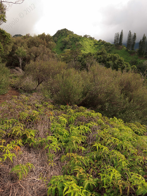
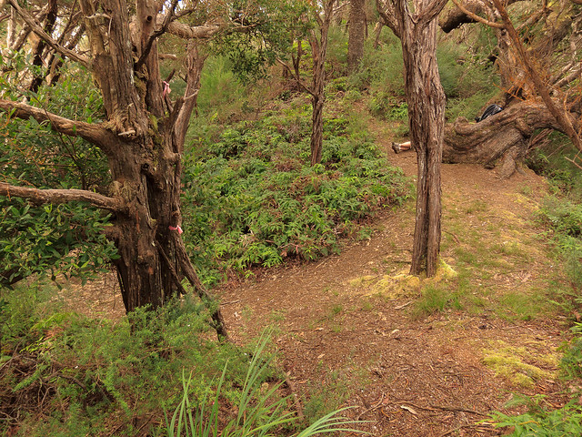
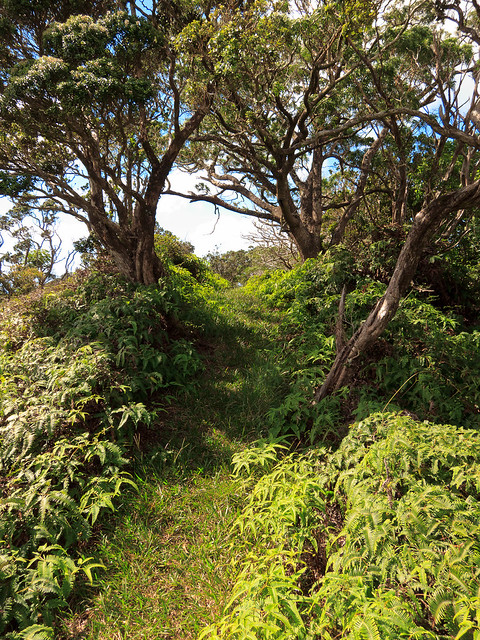
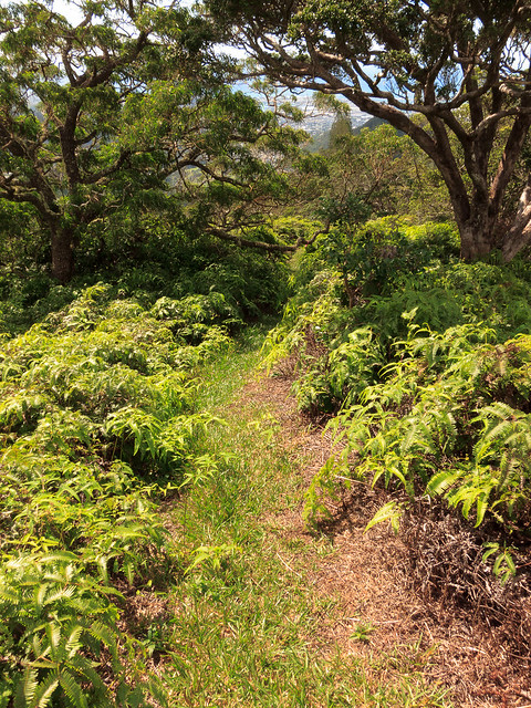
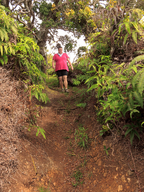
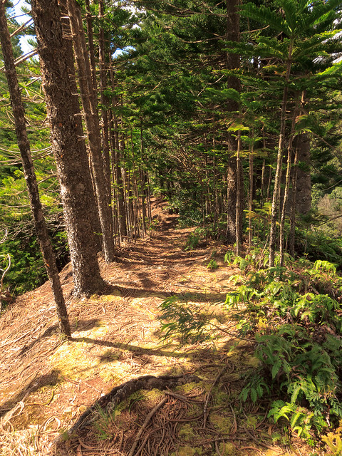
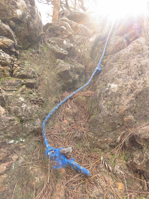
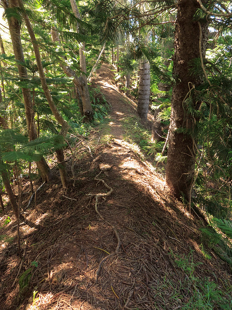
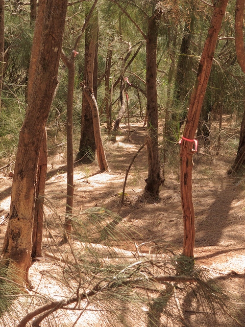
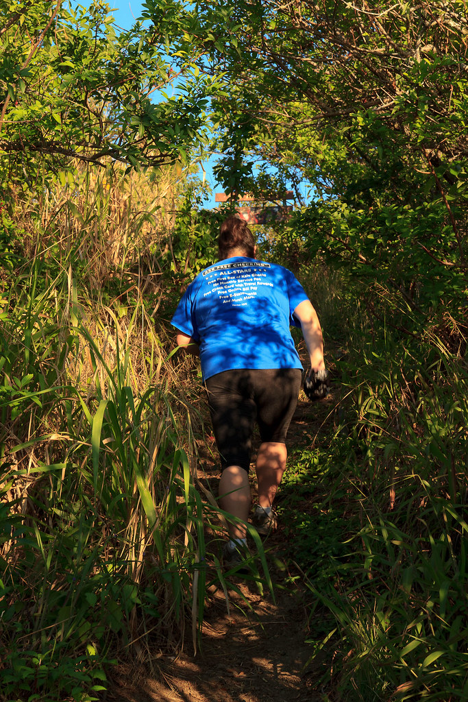
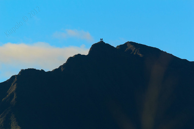
The trail quickly ascends to the ridge line then it's a short hike to the summit.
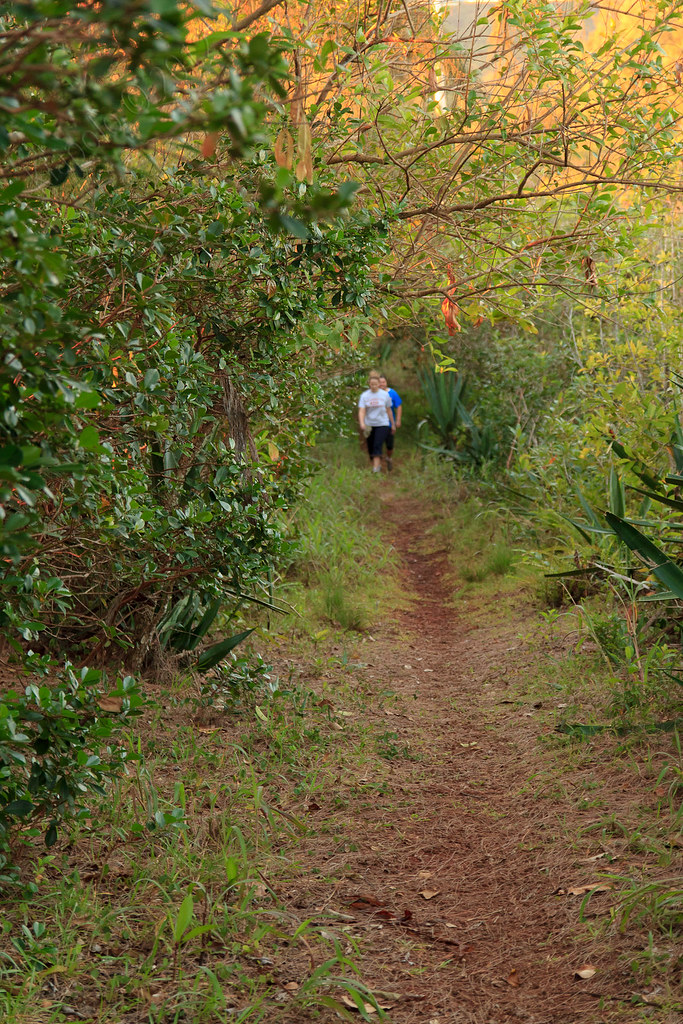
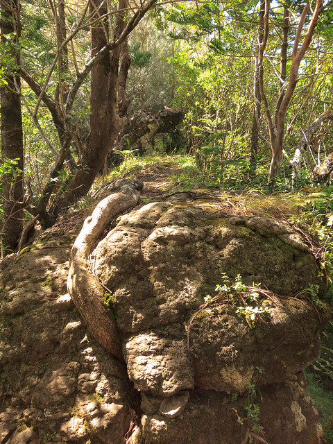
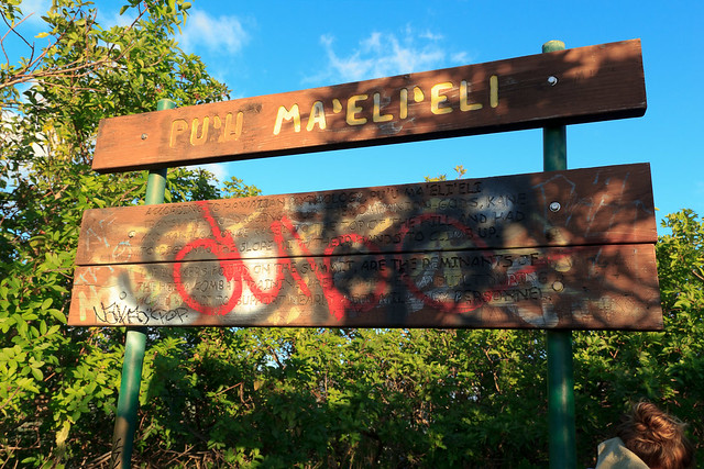
In less than an hour from pushing off we reached Pu`u Ma`eli`eli.
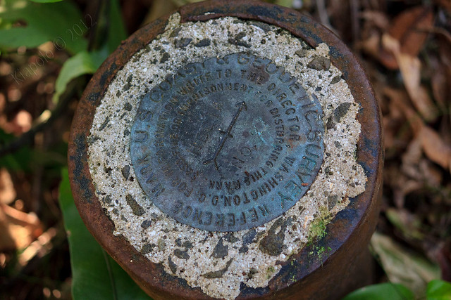
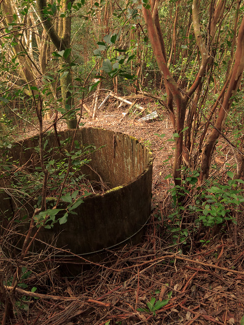
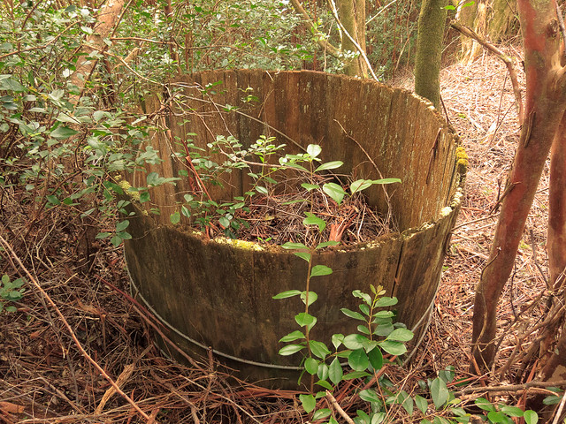
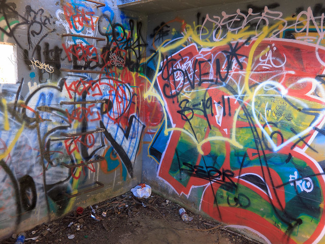
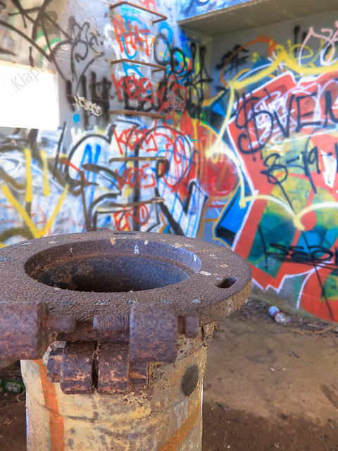
The summit is topped with a sign announcing Pu`u Ma`eli`eli and recounting the history of the hill. The summit also houses an underground bunker.
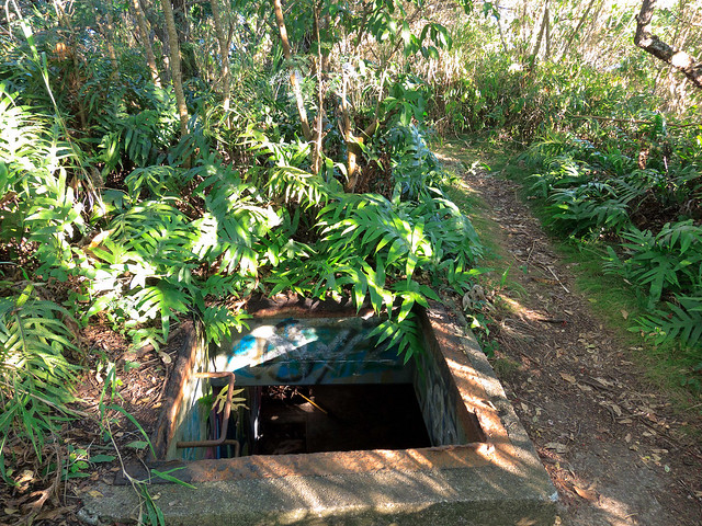
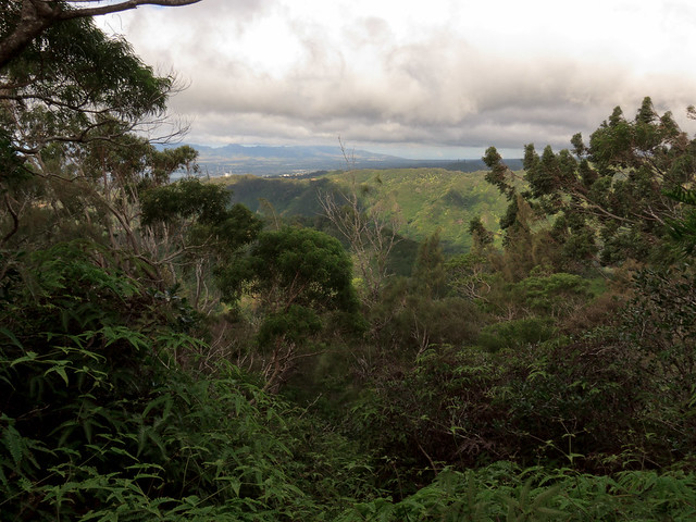
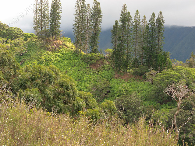
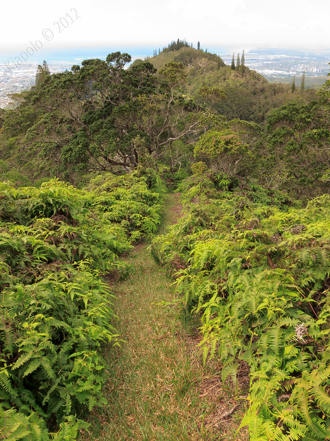
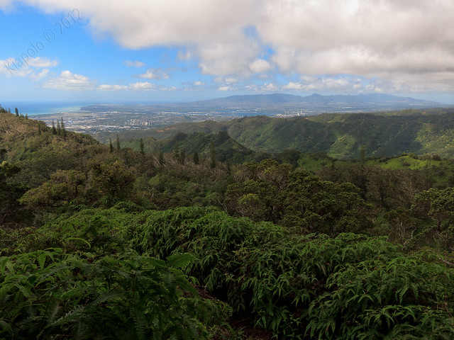
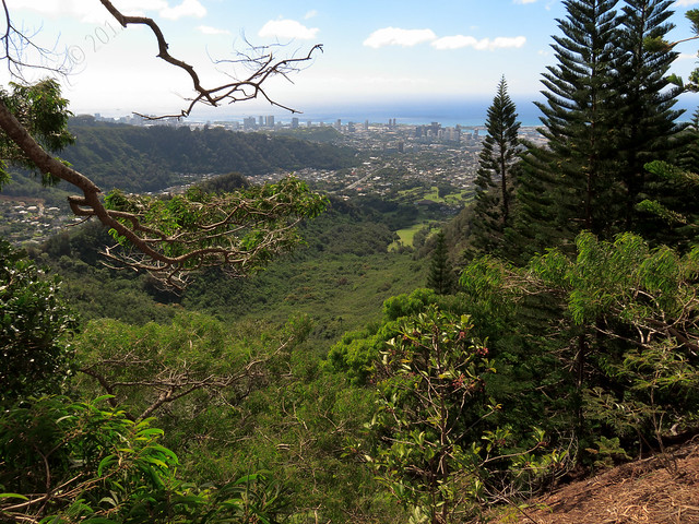
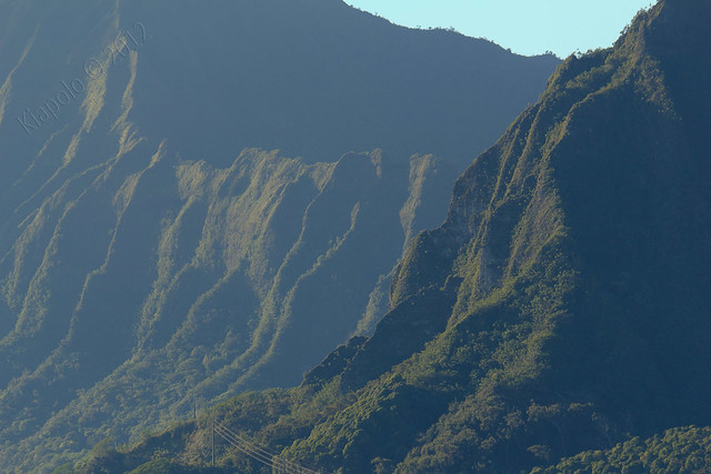
The trail continues past the summit to a double storied bunker over looking Kane`ohe Bay. The sweeping view stretches from Chinaman's Hat in the north to Mokapu and Kailua to the south.
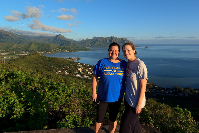
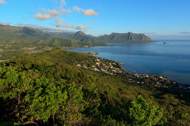
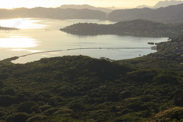
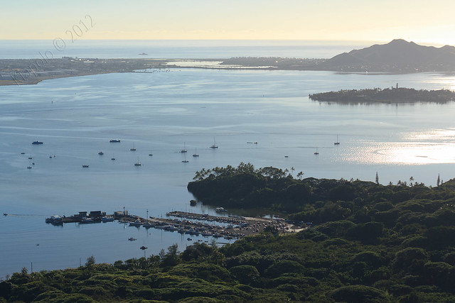
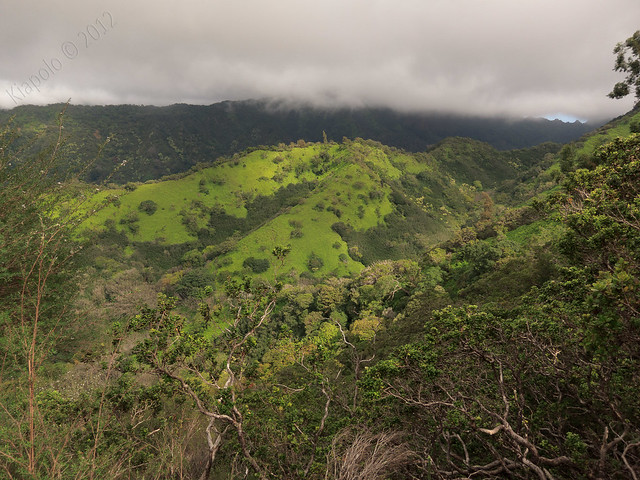
The clear skies made for some great views.
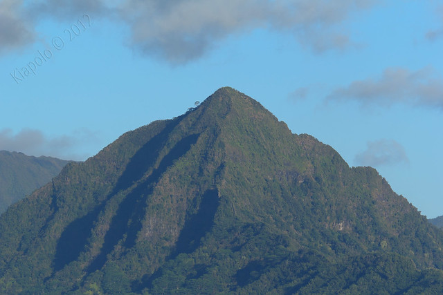 |
| Pu`u Ohulehule |
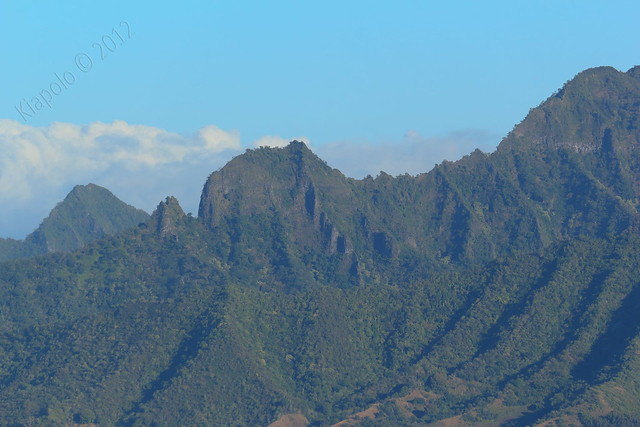 |
| True Manamana |
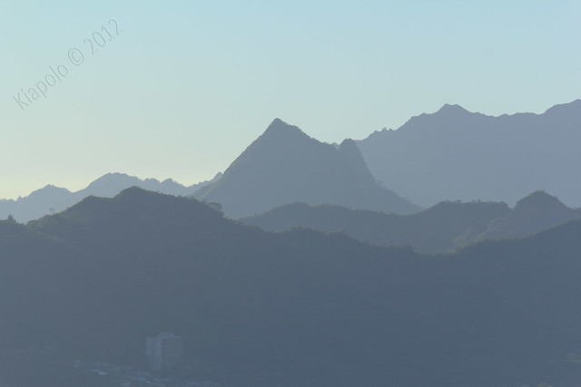 |
| Pu`u Olomana and Pu`u Ahiki |
 |
| `Aiea Summit |
 |
| Konahuanui |
 |
| Pu`u Eleao |
 |
| Haiku Stairs and Pu`u Keahiakahoe |
 |
| Kalihi Saddle |
 |
| Pu`u Lanihuli |
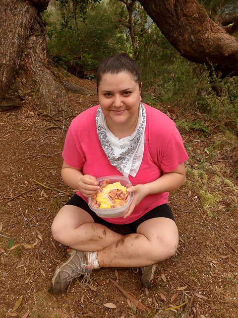
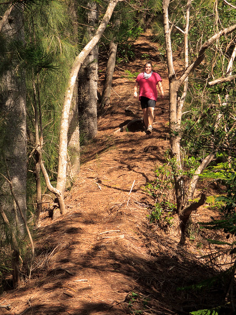
After taking in the views for half and hour we headed back to the civilization.
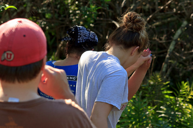 |
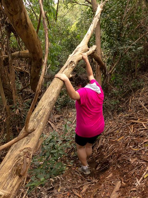
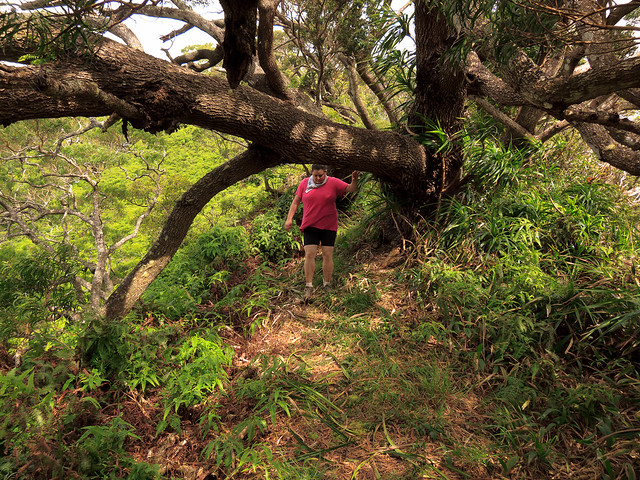
| Holding hands for support. |
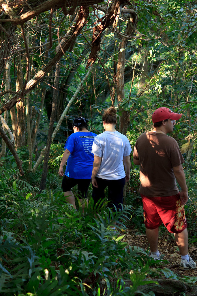
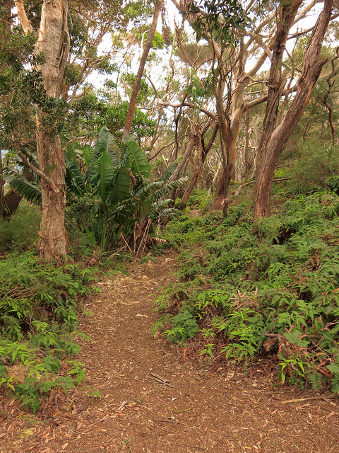
About halfway down the trail we took a detour and made a loop of the trail, coming out at the back of the Hui `Iwa townhouses and made our way down Hui `Iwa Street to our car.
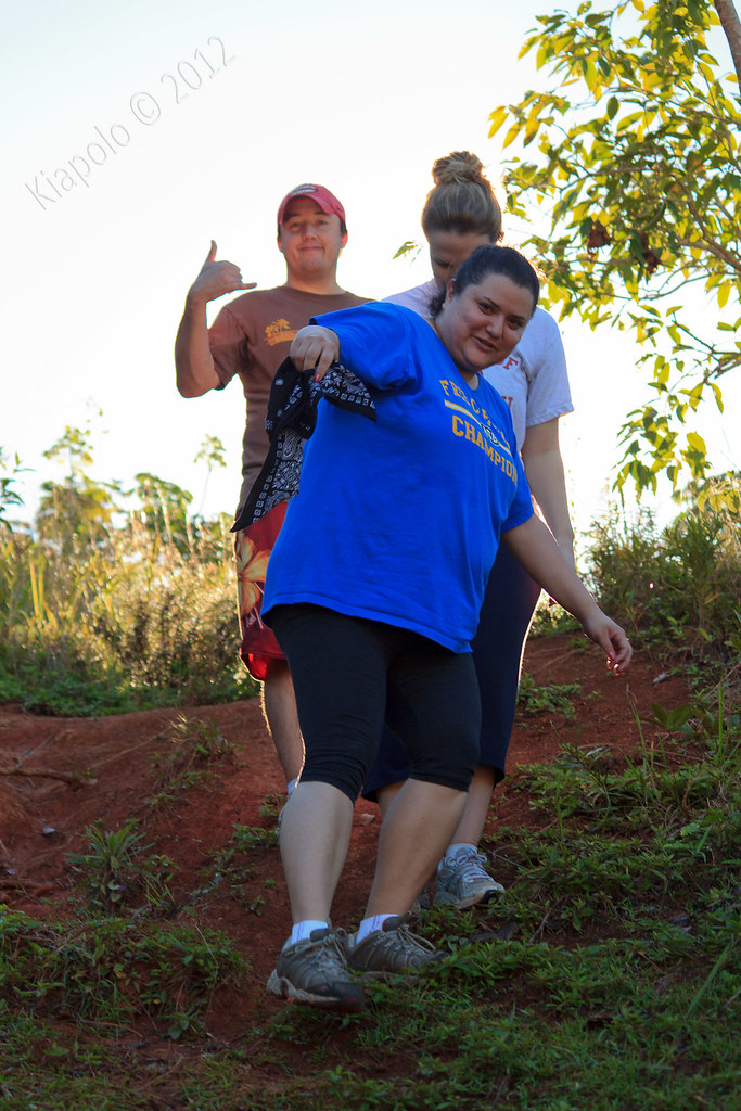 |
| Final drop down into Hui `Iwa. |
Rest of the pictures here:
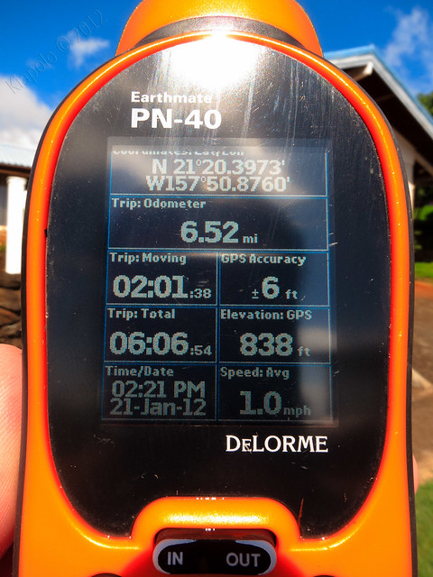
GPS track: